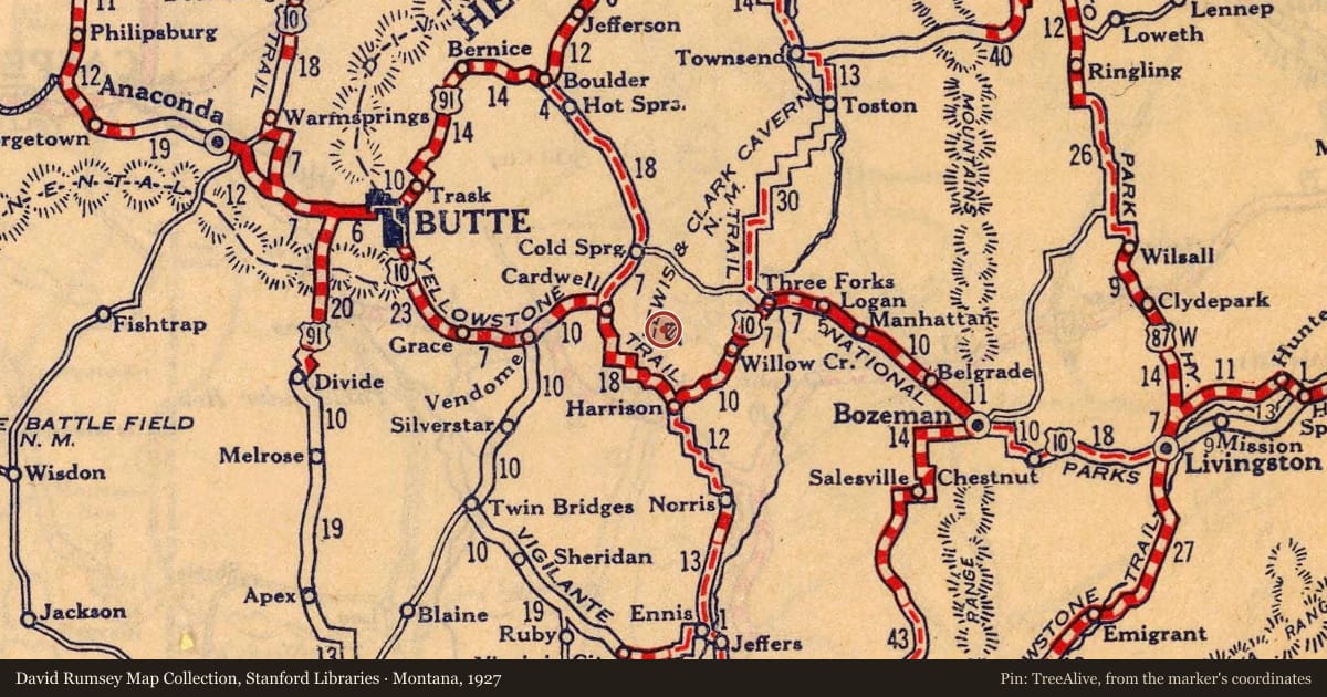
The four-mile-long Jefferson River Canyon was cut into the Tobacco Root Mountains between LaHood Park and Lewis and Clark Caverns State Park relatively recently in geologic time. The canyon exposes rocks that span over a billion years of geologic history. The rocks indicate times when the area was covered by shallow seas in which fine-grained sediment was deposited, and other times when rocks were exposed and eroded. The rocks also record times of volcanic activity and when stresses in the earth caused rocks to contort into folds or break into complex and significant faults. Entering the canyon from this site will take you backward in time. Most of the rocks at this end of the canyon are sedimentary and volcanic rocks from the age of dinosaurs and younger. They are less resistant than the rock of the canyon so form a valley rather than a canyon. Gray cliffs of Madison limestone mark the entrance to the canyon and form its walls for about a mile and a half to the west. Lewis and Clark Caverns are developed in this limestone. A short distance beyond a northward bend in the highway, a steeper canyon is developed in dark-colored rocks of the LaHood Formation that are much older than a billion years. In the outcrops of the LaHood Formation, chunks of a lighter-colored rock as much as 100-feet long are apparent within the dark rock of the canyon walls. They are boulders that broke off an ancient cliff produced by a major fault. After much political wrangling and public comments by citizens in Three Forks and Whitehall, the Montana Highway Department decided to reroute the US Highway 10 through the Jefferson Canyon in 1928. Prior to that, the old highway bypassed the canyon and connected Cardwell, Harrison, and Three Forks. The new road was difficult to build and dynamite was used to blast a route for the new highway through the rocks. The new US 10 alignment took nearly two years to build, but when completed was one of the most scenic routes in Montana. Bypassed by Interstate 90 in 1968, this highway still retains many of the design features common to Great Depression-era roads and is truly a unique driving experience.
Slide toward Today to fade the historical sheet and see the modern map underneath.
For example, one family's tree showed the Articles of Confederation marker in Pennsylvania standing under a mile from where William Gabby lived in the 1760s.
What that marker records spans 1777 to 1789, overlapping William Gabby's years there.