Cof Cymru: National Historic Assets of Wales · Wales
Plas Mawr
Conwy, Conwy, Wales
A scheduled monument in Conwy, recorded as House (domestic) (Post Medieval/Modern).
The record
- Designation
- Scheduled monument
- Site type
- House (domestic)
- Period
- Post Medieval/Modern
- Community
- Conwy
- Unitary authority
- Conwy
- Country
- Wales
- Coordinates (centre of the scheduled area)
- 53.28124, -3.83005
- SAM number
- CN083
- Cadw record number
- 3407
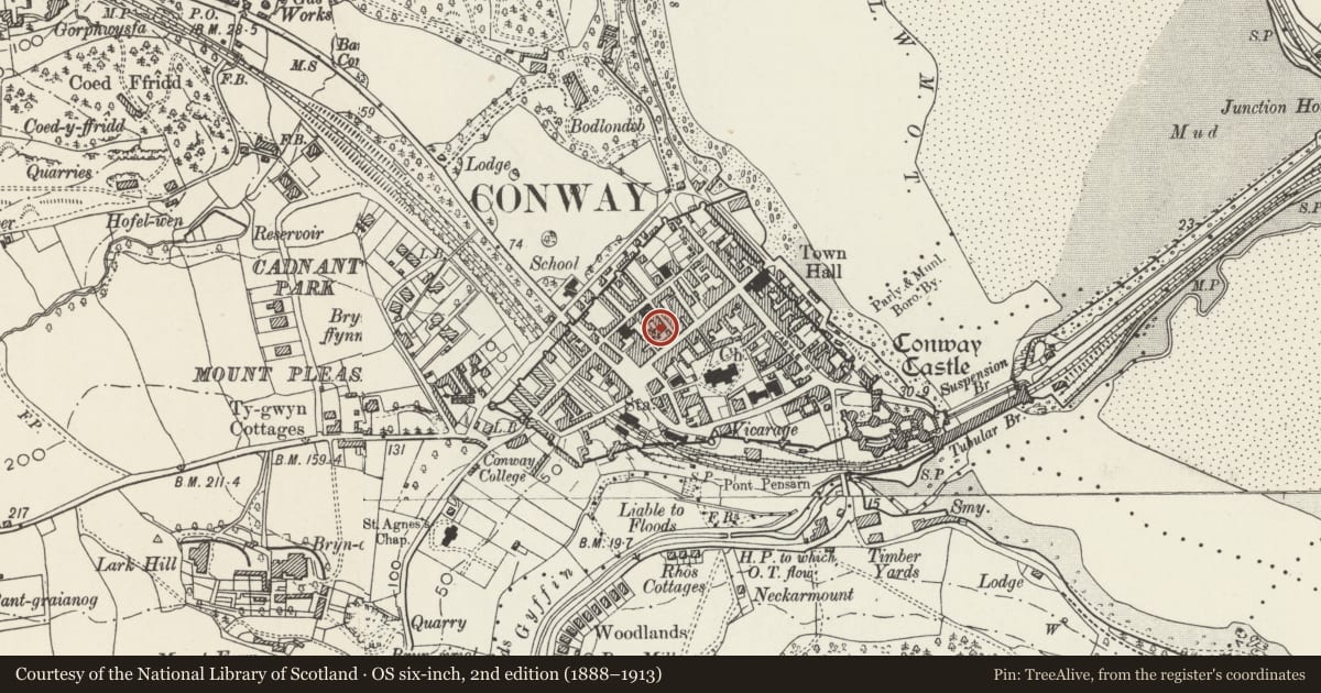
Slide toward Today to fade the historical sheet and see the modern map underneath.
David Rumsey Map Collection, Stanford LibrariesDavid Rumsey Map Collection, Stanford LibrariesDavid Rumsey Map Collection, Stanford LibrariesBayerische Staatsbibliothek, MunichDavid Rumsey Map Collection, Stanford Libraries
5 historical maps cover this location, the earliest the 1588 map "Ortelius, Abraham: Theatro De La Tierra Universal. 0" (Bayerische Staatsbibliothek, Munich).
Historical maps covering this location
- 1588 · Ortelius, Abraham: Theatro De La Tierra Universal. 0 (Bayerische Staatsbibliothek, Munich)
- 1608 · (13) Cambriae Typus. (David Rumsey Map Collection, Stanford Libraries)
- 1883 · Watershed map England, Wales 3. (David Rumsey Map Collection, Stanford Libraries)
- 1899 · 94 Beaumaris (Hills) (David Rumsey Map Collection, Stanford Libraries)
- 1901 · Sheet 9 and 10. (David Rumsey Map Collection, Stanford Libraries)
Cadw's description
Summary description and reason for designation
The following provides a general description of the Scheduled Monument.
An excellent example of an Elizabethan town house, built in the last quarter of the C16th.
The monument is of national importance for its potential to enhance our knowledge of the Elizabethan period and construction techniques. It retains significant archaeological potential, with a strong probability of the presence of associated archaeological features and deposits. The structures themselves may be expected to contain archaeological information concerning chronology and building techniques.
The scheduled area comprises the remains described and areas around them within which related evidence may be expected to survive.
Nearby in the register
- Plas MawrDomesticunder 1 mi
- 12 Crown LaneDomesticunder 1 mi
- House and TenovusNo class recordedunder 1 mi
- Edwards Fresh FoodNo class recordedunder 1 mi
Other entries of the same register within about three miles of this one, by straight line.