Cof Cymru: National Historic Assets of Wales · Wales
15 Sycamore Street
Newcastle Emlyn, Carmarthenshire, Wales
A Grade II listed building in Newcastle Emlyn, Carmarthenshire, designated on 5 August 1991.
The record
- Designation
- Listed building, Grade II
- Broad class
- Commercial
- Date of designation
- 5 August 1991
- Community
- Newcastle Emlyn
- Unitary authority
- Carmarthenshire
- Country
- Wales
- Coordinates
- 52.03869, -4.46746
- Cadw reference
- 9712
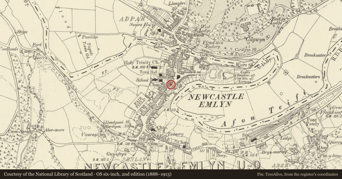
Slide toward Today to fade the historical sheet and see the modern map underneath.
David Rumsey Map Collection, Stanford LibrariesDavid Rumsey Map Collection, Stanford LibrariesDavid Rumsey Map Collection, Stanford LibrariesDavid Rumsey Map Collection, Stanford LibrariesDavid Rumsey Map Collection, Stanford Libraries
5 historical maps cover this location, the earliest the 1830 map "V.3:11-15:XV. Britisches Reich. A. Kon: England. b. Frstenthum Wales: Shire: 37-40" (David Rumsey Map Collection, Stanford Libraries).
Historical maps covering this location
- 1830 · V.3:11-15:XV. Britisches Reich. A. Kon: England. b. Frstenthum Wales: Shire: 37-40 (David Rumsey Map Collection, Stanford Libraries)
- 1860 · 41. Caermathen. (David Rumsey Map Collection, Stanford Libraries)
- 1891 · Sheet 10. Ordnance Survey of England and Wales. . (David Rumsey Map Collection, Stanford Libraries)
- 1898 · 211 Newcastle Emlyn (Hills) (David Rumsey Map Collection, Stanford Libraries)
- 1901 · Sheet 14. (David Rumsey Map Collection, Stanford Libraries)
Cadw's description
Location
Situated on street line in terraced row between Church Street and Pelican Inn.
History
Little altered from circa 1890 photograph when building was Thomas Jones, Newcastle Emlyn Post and Stamp Office, and a rare example of integral shop premises.
Exterior
Mid C19 shop and house in brown squared rubble stone with ashlar dressings, slate eaves roof and N end stone stack. Two storey 3 window range. First floor 12-pane sashes, ground floor centre door flanked by shop window slate sills. Ashlar sides, voussoirs and keystones to all openings, the broad ground floor shop windows original, though with plate glass replacing former glazing bars. Pair of narrow panelled doors. Painted stone plinth.
Nearby in the register
- Angel House (J.David Lewis Premises)Commercialunder 1 mi
- Former Victoria StoresDomesticunder 1 mi
- Town Hall & Market BuildingsCivilunder 1 mi
- Bethel Presbyterian Chapel, including School-room & Wall to Church StreetReligious, Ritual and Funeraryunder 1 mi
Other entries of the same register within about three miles of this one, by straight line.