Cof Cymru: National Historic Assets of Wales · Wales
Clifton House
Laugharne Township, Carmarthenshire, Wales
A Grade II listed building in Laugharne Township, Carmarthenshire, designated on 30 November 1966.
The record
- Designation
- Listed building, Grade II
- Broad class
- Domestic
- Date of designation
- 30 November 1966
- Community
- Laugharne Township
- Unitary authority
- Carmarthenshire
- Country
- Wales
- Coordinates
- 51.77296, -4.46297
- Cadw reference
- 9625
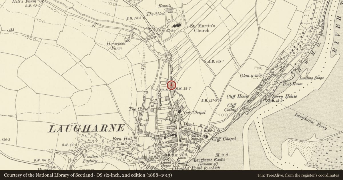
Slide toward Today to fade the historical sheet and see the modern map underneath.
David Rumsey Map Collection, Stanford LibrariesDavid Rumsey Map Collection, Stanford LibrariesDavid Rumsey Map Collection, Stanford LibrariesDavid Rumsey Map Collection, Stanford LibrariesDavid Rumsey Map Collection, Stanford Libraries
5 historical maps cover this location, the earliest the 1636 map "Cornubia : Devonia, Somersetus, Dorcestria, Wiltonia, Glocestria ..." (David Rumsey Map Collection, Stanford Libraries).
Historical maps covering this location
- 1636 · Cornubia : Devonia, Somersetus, Dorcestria, Wiltonia, Glocestria ... (David Rumsey Map Collection, Stanford Libraries)
- 1860 · 41. Caermathen. (David Rumsey Map Collection, Stanford Libraries)
- 1891 · Sheet 10. Ordnance Survey of England and Wales. . (David Rumsey Map Collection, Stanford Libraries)
- 1898 · 229 Carmarthen (Hills) (David Rumsey Map Collection, Stanford Libraries)
- 1920 · Sheet 100. Llanelly. (David Rumsey Map Collection, Stanford Libraries)
Cadw's description
Exterior
Stepped up from adjoining frontages. Early C19 (shown on 1834 survey map) Georgian 2-storey and basement 3-window, roughcast front, plinth and removed band course; slate roof, brick end chimney stacks. Broadly spaced 16-pane sash windows with blank wall area to left over boarded door; central open pedimented doorcase to 4-panel door with 5-pane fanlight; small basement hatch.
Roughcast left end, rubble right end, cross range to rear.
Interior
Contemporary interior retained with arched recesses to all rooms, panelled doors etc.
Nearby in the register
- The LimesDomesticunder 1 mi
- Moir HouseDomesticunder 1 mi
- RosettaDomesticunder 1 mi
- Great HouseDomesticunder 1 mi
Other entries of the same register within about three miles of this one, by straight line.