Cof Cymru: National Historic Assets of Wales · Wales
Farm Range about 30m N of Ferndale Farmhouse
New Radnor, Powys, Wales
A Grade II listed building in Knowle Hill, New Radnor, Powys, designated on 29 April 1993.
The record
- Designation
- Listed building, Grade II
- Broad class
- Agriculture and Subsistence
- Date of designation
- 29 April 1993
- Locality
- Knowle Hill
- Community
- New Radnor
- Unitary authority
- Powys
- Country
- Wales
- Coordinates
- 52.25461, -3.14242
- Cadw reference
- 9254
Slide toward Today to fade the historical sheet and see the modern map underneath.
David Rumsey Map Collection, Stanford LibrariesDavid Rumsey Map Collection, Stanford LibrariesDavid Rumsey Map Collection, Stanford LibrariesDavid Rumsey Map Collection, Stanford LibrariesDavid Rumsey Map Collection, Stanford Libraries
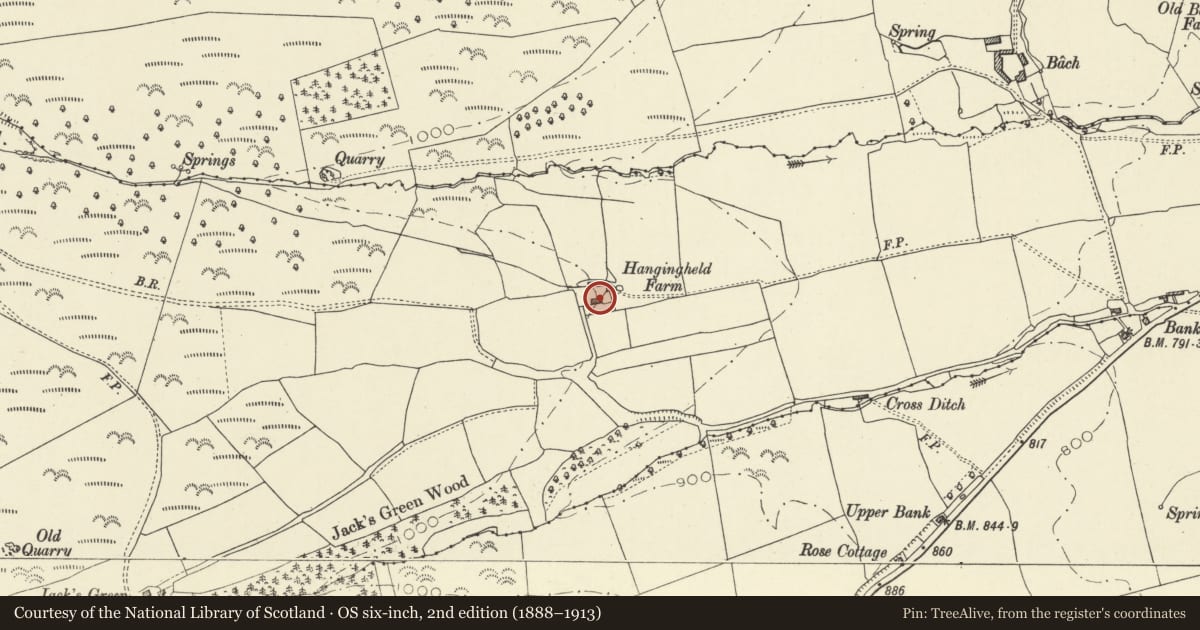
5 historical maps cover this location, the earliest the 1608 map "(13) Cambriae Typus." (David Rumsey Map Collection, Stanford Libraries).
Historical maps covering this location
- 1608 · (13) Cambriae Typus. (David Rumsey Map Collection, Stanford Libraries)
- 1637 · Particular description of Wales. Cambria seu Wallia (David Rumsey Map Collection, Stanford Libraries)
- 1883 · Watershed map England, Wales 3. (David Rumsey Map Collection, Stanford Libraries)
- 1899 · 180 Knighton (Hills) (David Rumsey Map Collection, Stanford Libraries)
- 1901 · Sheet 14. (David Rumsey Map Collection, Stanford Libraries)
Cadw's description
Location
Sited down slope with continuous rubble base wall, and stepped roof.
Exterior
Barn: Three bays, one end forming loft to stable below. Early C19, weatherboarded with boarded double doors and shutters, slate roof. Stud framework with diagonal bracing interrupting the vertical studs, jowled bay posts, tie-beam trusses with angle braces and central iron rod. Central threshing bay with boarding to lower sections of partition framing.
Cowhouse/stable block: Lower roof-line. Early C19, weatherboarded loft over studwork, iron roof, boarded doors and shutters. Rear wall has small square pitching holes and ventilation slits. Original boarded stalls survive with mangers and racks. Transverse feeding passage, eight stalls and calf pen. Two pigsties adjoin at lower end of slope. Rubble rear walls, weatherboarded front, slate roof.
Reason for designation
Group value with farmhouse
Nearby in the register
- FerndaleDomesticunder 1 mi
- Knowle FarmhouseDomesticunder 1 mi
- U-Plan Farm Ranges to W of Knowle FarmhouseAgriculture and Subsistenceunder 1 mi
- U-Plan Ranges of Farm Buildings at Bache FarmAgriculture and Subsistenceunder 1 mi
Other entries of the same register within about three miles of this one, by straight line.