Cof Cymru: National Historic Assets of Wales · Wales
The Cross
New Radnor, Powys, Wales
A Grade II listed building in New Radnor, Powys, designated on 21 September 1962.
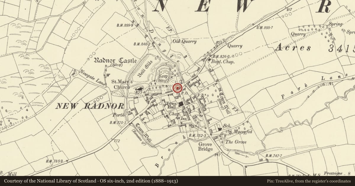
The record
- Designation
- Listed building, Grade II
- Broad class
- Domestic
- Date of designation
- 21 September 1962
- Community
- New Radnor
- Unitary authority
- Powys
- Country
- Wales
- Coordinates
- 52.24092, -3.15481
- Cadw reference
- 9218
Slide toward Today to fade the historical sheet and see the modern map underneath.
David Rumsey Map Collection, Stanford LibrariesDavid Rumsey Map Collection, Stanford LibrariesDavid Rumsey Map Collection, Stanford LibrariesDavid Rumsey Map Collection, Stanford LibrariesDavid Rumsey Map Collection, Stanford Libraries
5 historical maps cover this location, the earliest the 1608 map "(13) Cambriae Typus." (David Rumsey Map Collection, Stanford Libraries).
Historical maps covering this location
- 1608 · (13) Cambriae Typus. (David Rumsey Map Collection, Stanford Libraries)
- 1637 · Particular description of Wales. Cambria seu Wallia (David Rumsey Map Collection, Stanford Libraries)
- 1883 · Watershed map England, Wales 3. (David Rumsey Map Collection, Stanford Libraries)
- 1899 · 180 Knighton (Hills) (David Rumsey Map Collection, Stanford Libraries)
- 1901 · Sheet 14. (David Rumsey Map Collection, Stanford Libraries)
Cadw's description
Location
Formerly one property with No 1 (The Forge) and then known as 'The Cross Inn'.
History
C17 in origin, altered and divided off in C19.
Exterior
Two storeys with cellar, rendered, slate roof, end stack with brick upper. Lean-to to rear. Central door approached via five steps. Boarded door with overlight. C19 three-light iron casement windows in chamfered timber frames.
Interior
Timber-framing in tall panels exposed on first floor. Ground floor has scroll-stopped beams. Large open, rubble-sided fireplace to rear of right-hand room is altered, with renewed lintel.
Reason for designation
Group value with No 1 adjoining.
Nearby in the register
- The ForgeIndustrialunder 1 mi
- Smithy with Stable attached to No. 1 High StreetDomesticunder 1 mi
- Rainbow Cottage including shop on rightCommercialunder 1 mi
- Outbuilding 10m to W.of No.15 (Rainbow Cottage)Domesticunder 1 mi
Other entries of the same register within about three miles of this one, by straight line.