Cof Cymru: National Historic Assets of Wales · Wales
Bethel Baptist Church
Old Radnor, Powys, Wales
A Grade II listed building in Evenjob, Old Radnor, Powys, designated on 15 February 1993.
The record
- Designation
- Listed building, Grade II
- Broad class
- Religious, Ritual and Funerary
- Date of designation
- 15 February 1993
- Locality
- Evenjob
- Community
- Old Radnor
- Unitary authority
- Powys
- Country
- Wales
- Coordinates
- 52.25451, -3.08064
- Cadw reference
- 9160
Slide toward Today to fade the historical sheet and see the modern map underneath.
David Rumsey Map Collection, Stanford LibrariesDavid Rumsey Map Collection, Stanford LibrariesDavid Rumsey Map Collection, Stanford LibrariesDavid Rumsey Map Collection, Stanford LibrariesDavid Rumsey Map Collection, Stanford Libraries
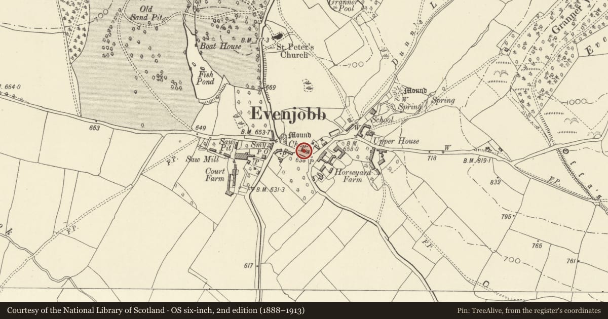
5 historical maps cover this location, the earliest the 1608 map "(13) Cambriae Typus." (David Rumsey Map Collection, Stanford Libraries).
Historical maps covering this location
- 1608 · (13) Cambriae Typus. (David Rumsey Map Collection, Stanford Libraries)
- 1637 · Particular description of Wales. Cambria seu Wallia (David Rumsey Map Collection, Stanford Libraries)
- 1883 · Watershed map England, Wales 3. (David Rumsey Map Collection, Stanford Libraries)
- 1899 · 180 Knighton (Hills) (David Rumsey Map Collection, Stanford Libraries)
- 1901 · Sheet 14. (David Rumsey Map Collection, Stanford Libraries)
Cadw's description
Location
By roadside on E-W public street through village.
Exterior
Dated 1849. Voussoir medallion in west gable contains inscription reading "Bethal Baptist Chapel Erected AD1849". Coursed squared rubble, slate roof. West gable (entrance) end has eaves level string-course giving the effect of a pediment. Central framed boarded door with fanlight over, 2 flanking high windows with tooled voussoir round-arch heads and fanlight glazing. Two similar windows to side walls. Roadside elevation has very narrow, panelled Minister's door in recessed arched entrance.
Interior
Panelled gallery at west end set over 2 slender iron columns. Dado panelling with horizontally-set beaded boards. Bolted king-post truss with ceiling at collar height, stone flagged floor. Raised dais at east end, later C19 reading desk with flanking steps up. Painted text behind in arch framing.
Reason for designation
An attractive, unaltered village chapel.
Nearby in the register
- The HarbourDomesticunder 1 mi
- Telephone Call-box at T-junction in centre of villageCommunicationsunder 1 mi
- Courtyard CottagesDomesticunder 1 mi
- Lower HouseDomesticunder 1 mi
Other entries of the same register within about three miles of this one, by straight line.