Cof Cymru: National Historic Assets of Wales · Wales
Hay Barn about 30m North of Evancoyd Lodge
Old Radnor, Powys, Wales
A Grade II listed building in Old Radnor, Powys, designated on 15 February 1993.
The record
- Designation
- Listed building, Grade II
- Broad class
- Agriculture and Subsistence
- Date of designation
- 15 February 1993
- Community
- Old Radnor
- Unitary authority
- Powys
- Country
- Wales
- Coordinates
- 52.26190, -3.08266
- Cadw reference
- 9155
Slide toward Today to fade the historical sheet and see the modern map underneath.
David Rumsey Map Collection, Stanford LibrariesDavid Rumsey Map Collection, Stanford LibrariesDavid Rumsey Map Collection, Stanford LibrariesDavid Rumsey Map Collection, Stanford LibrariesDavid Rumsey Map Collection, Stanford Libraries
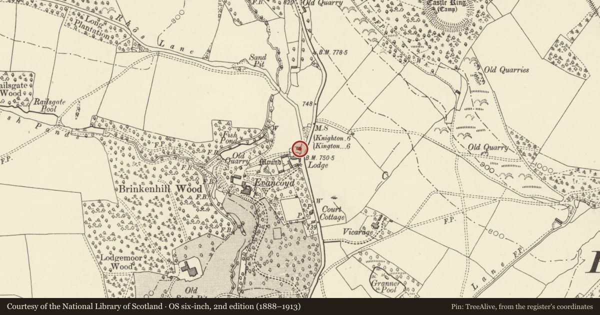
5 historical maps cover this location, the earliest the 1608 map "(13) Cambriae Typus." (David Rumsey Map Collection, Stanford Libraries).
Historical maps covering this location
- 1608 · (13) Cambriae Typus. (David Rumsey Map Collection, Stanford Libraries)
- 1637 · Particular description of Wales. Cambria seu Wallia (David Rumsey Map Collection, Stanford Libraries)
- 1883 · Watershed map England, Wales 3. (David Rumsey Map Collection, Stanford Libraries)
- 1899 · 180 Knighton (Hills) (David Rumsey Map Collection, Stanford Libraries)
- 1901 · Sheet 14. (David Rumsey Map Collection, Stanford Libraries)
Cadw's description
Location
Distinctive gable end to road.
Exterior
Early-mid C19, detached 4-bay barn. Rubble walls with many ventilation slits. Open-fronted to the south with rubble partitions, right-hand bay infilled with later rubble and weather-boarding. Iron roof, king-post trusses, low tollant throughout.
Reason for designation
Group value with other listed estate buildings at Evancoyd.
Nearby in the register
- Lodge to EvancoydDomesticunder 1 mi
- Gardener's Cottage about 100m NE of EvancoydDomesticunder 1 mi
- Outbuilding around NW courtyard at EvancoydDomesticunder 1 mi
- Evancoyd including attached N WingDomesticunder 1 mi
Other entries of the same register within about three miles of this one, by straight line.