Cof Cymru: National Historic Assets of Wales · Wales
Price Monument
Presteigne, Powys, Wales
A Grade II listed building in Norton, Presteigne, Powys, designated on 26 March 1985.
The record
- Designation
- Listed building, Grade II
- Broad class
- Commemorative
- Date of designation
- 26 March 1985
- Locality
- Norton
- Community
- Presteigne
- Unitary authority
- Powys
- Country
- Wales
- Coordinates
- 52.31147, -3.05027
- Cadw reference
- 8947
Slide toward Today to fade the historical sheet and see the modern map underneath.
David Rumsey Map Collection, Stanford LibrariesDavid Rumsey Map Collection, Stanford LibrariesDavid Rumsey Map Collection, Stanford LibrariesDavid Rumsey Map Collection, Stanford LibrariesDavid Rumsey Map Collection, Stanford Libraries
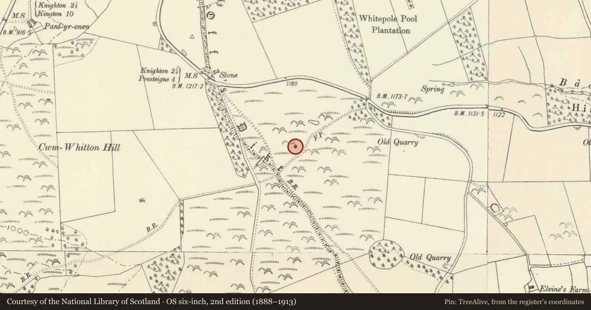
5 historical maps cover this location, the earliest the 1608 map "(13) Cambriae Typus." (David Rumsey Map Collection, Stanford Libraries).
Historical maps covering this location
- 1608 · (13) Cambriae Typus. (David Rumsey Map Collection, Stanford Libraries)
- 1637 · Particular description of Wales. Cambria seu Wallia (David Rumsey Map Collection, Stanford Libraries)
- 1883 · Watershed map England, Wales 3. (David Rumsey Map Collection, Stanford Libraries)
- 1899 · 180 Knighton (Hills) (David Rumsey Map Collection, Stanford Libraries)
- 1901 · Sheet 14. (David Rumsey Map Collection, Stanford Libraries)
Cadw's description
Location
On an elevated site above the road, close to Offa's Dyke at Hengwm Hill to NW of Village.
History
About 1887.
Exterior
Polished red granite obelisk with a stepped granite plinth and pedimented stem set on a stone pedestal.
The N face is inscribe with leaded lettering as follows:
"This Public Monument was erected by subscription to perpetuate the memory of Sir Richard Green Price, 1st Baronet, Born 1803 - Died 1887, whose services to the County of Radnor will long outlive his name etc".
Nearby in the register
- Offa's Dyke: Section extending 2143m S from The Firs, Rhos-y-MeirchLinear Earthworkunder 1 mi
- Offa's Dyke: Section extending 200m S to Pool House, Rhos-y-MeirchLinear Earthworkunder 1 mi
- Tiled HouseDomesticunder 1 mi
- Outbuilding at Bach HouseDomesticunder 1 mi
Other entries of the same register within about three miles of this one, by straight line.