Cof Cymru: National Historic Assets of Wales · Wales
Outbuilding at Bach House
Presteigne, Powys, Wales
A Grade II listed building in Presteigne, Powys, designated on 26 March 1985.
The record
- Designation
- Listed building, Grade II
- Broad class
- Domestic
- Date of designation
- 26 March 1985
- Community
- Presteigne
- Unitary authority
- Powys
- Country
- Wales
- Coordinates
- 52.31029, -3.02725
- Cadw reference
- 8955
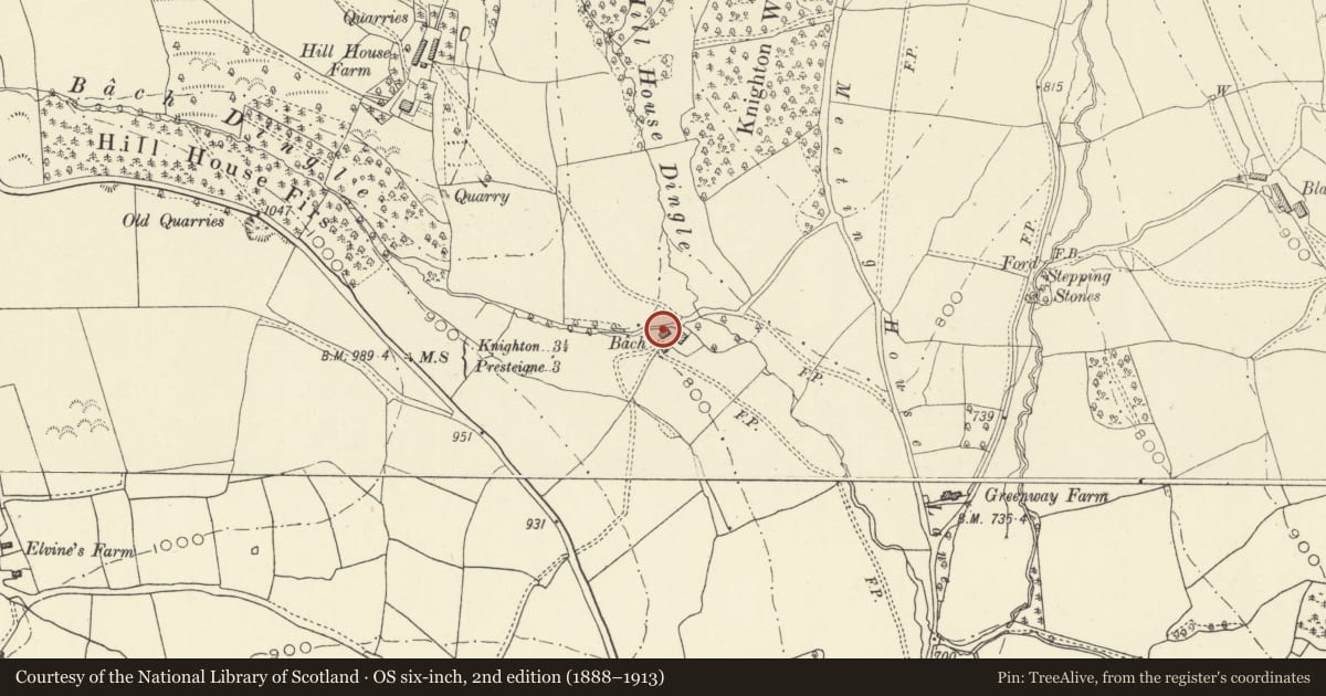
Slide toward Today to fade the historical sheet and see the modern map underneath.
David Rumsey Map Collection, Stanford LibrariesDavid Rumsey Map Collection, Stanford LibrariesDavid Rumsey Map Collection, Stanford LibrariesDavid Rumsey Map Collection, Stanford LibrariesDavid Rumsey Map Collection, Stanford Libraries
5 historical maps cover this location, the earliest the 1637 map "Particular description of Wales. Cambria seu Wallia" (David Rumsey Map Collection, Stanford Libraries).
Historical maps covering this location
- 1637 · Particular description of Wales. Cambria seu Wallia (David Rumsey Map Collection, Stanford Libraries)
- 1830 · V.3:11-15:XV.Britisches Reich. A. Kon: England. a. England ab sich: Shire:15-17, 33 (David Rumsey Map Collection, Stanford Libraries)
- 1883 · Watershed map England, Wales 3. (David Rumsey Map Collection, Stanford Libraries)
- 1899 · 180 Knighton (Hills) (David Rumsey Map Collection, Stanford Libraries)
- 1901 · Sheet 14. (David Rumsey Map Collection, Stanford Libraries)
Cadw's description
Location
Remotely situated near Bach House and reached by a steep road from Meeting House Lane.
History
Probably C17/early C18.
Exterior
2 storeys, box-frame on rubble footings set longitudinally into slope. Slate roof, metal flue to centre, plain bargeboards, plaster infill, diagonal braces to gable ends. Assorted small windows, one small and one large boarded door up steps, modern lean-to extension to left.
Reason for designation
Group value.
Nearby in the register
- Bach HouseDomesticunder 1 mi
- The Old VicarageDomesticunder 1 mi
- Norton Mound And Bailey CastleMotte and Baileyunder 1 mi
- Church of Saint AndrewReligious, Ritual and Funeraryunder 1 mi
Other entries of the same register within about three miles of this one, by straight line.