Cof Cymru: National Historic Assets of Wales · Wales
Haps Ltd. including Flat over
Presteigne, Powys, Wales
A Grade II listed building in Presteigne, Powys, designated on 26 March 1985.
The record
- Designation
- Listed building, Grade II
- Broad class
- Commercial
- Date of designation
- 26 March 1985
- Community
- Presteigne
- Unitary authority
- Powys
- Country
- Wales
- Coordinates
- 52.27365, -3.00669
- Cadw reference
- 8877
Slide toward Today to fade the historical sheet and see the modern map underneath.
David Rumsey Map Collection, Stanford LibrariesDavid Rumsey Map Collection, Stanford LibrariesDavid Rumsey Map Collection, Stanford LibrariesDavid Rumsey Map Collection, Stanford LibrariesDavid Rumsey Map Collection, Stanford Libraries
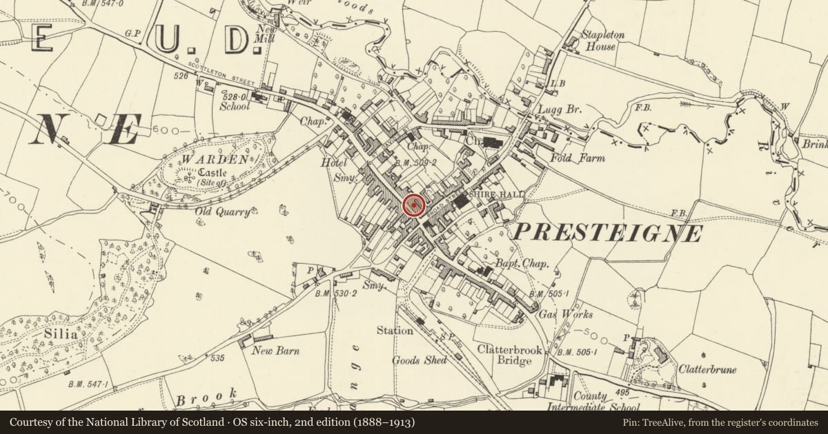
5 historical maps cover this location, the earliest the 1637 map "Particular description of Wales. Cambria seu Wallia" (David Rumsey Map Collection, Stanford Libraries).
Historical maps covering this location
- 1637 · Particular description of Wales. Cambria seu Wallia (David Rumsey Map Collection, Stanford Libraries)
- 1830 · V.3:11-15:XV.Britisches Reich. A. Kon: England. a. England ab sich: Shire:15-17, 33 (David Rumsey Map Collection, Stanford Libraries)
- 1883 · Watershed map England, Wales 3. (David Rumsey Map Collection, Stanford Libraries)
- 1899 · 180 Knighton (Hills) (David Rumsey Map Collection, Stanford Libraries)
- 1901 · Sheet 14. (David Rumsey Map Collection, Stanford Libraries)
Cadw's description
Exterior
2 storey 4 window long roughcast front to C17 structure.
Overall slate roof, high eaves boards, red brick stack, central downpipe with two 3-light casements to right and two sash windows in flush frames to left. C19 projecting shop fronts with overall fascia, dentil cornice, flat end pilasters. Three small shop window bays with timber mullions, 2 recessed doors in moulded architraves. At rear is attached a tall stone work industrial building (formerly fulling mill?) with corrugated roof.
Reason for designation
Group value.
Nearby in the register
- The Fruit ShopCommercialunder 1 mi
- W.E.Lloyd Saddler including Flat overCommercialunder 1 mi
- Post OfficeCommunicationsunder 1 mi
- Manchester House including Just Jill and Sparey NewsagentCommercialunder 1 mi
Other entries of the same register within about three miles of this one, by straight line.