Cof Cymru: National Historic Assets of Wales · Wales
Paradise Villa
Presteigne, Powys, Wales
A Grade II listed building in Presteigne, Powys, designated on 26 March 1985.
The record
- Designation
- Listed building, Grade II
- Broad class
- Domestic
- Date of designation
- 26 March 1985
- Community
- Presteigne
- Unitary authority
- Powys
- Country
- Wales
- Coordinates
- 52.27239, -3.00864
- Cadw reference
- 8855
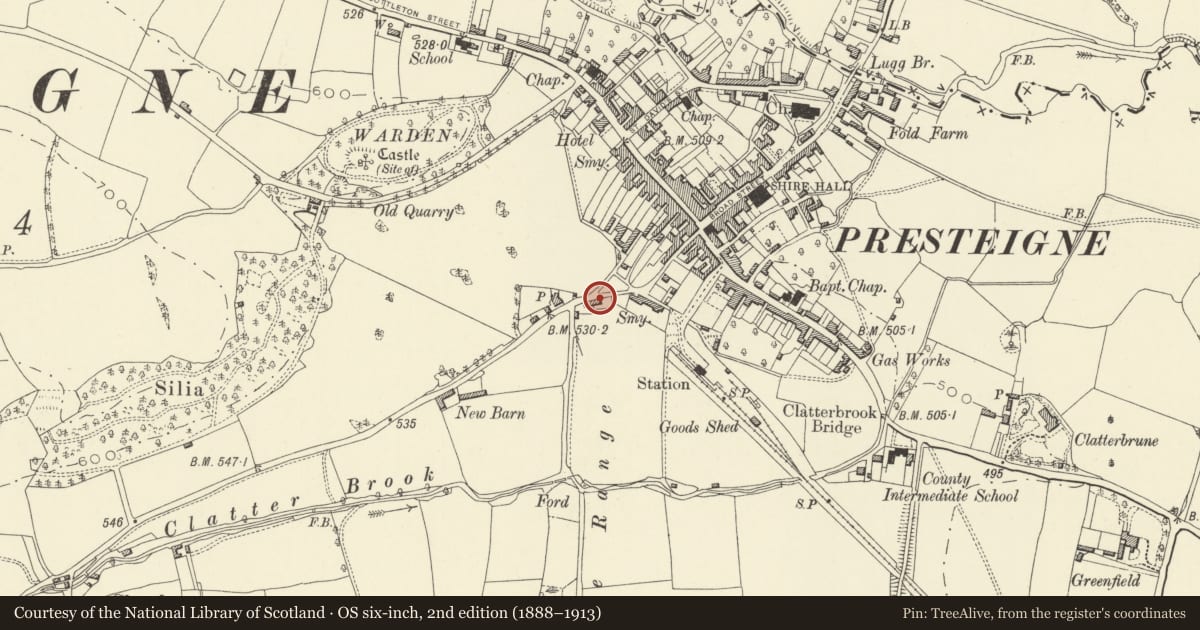
Slide toward Today to fade the historical sheet and see the modern map underneath.
David Rumsey Map Collection, Stanford LibrariesDavid Rumsey Map Collection, Stanford LibrariesDavid Rumsey Map Collection, Stanford LibrariesDavid Rumsey Map Collection, Stanford LibrariesDavid Rumsey Map Collection, Stanford Libraries
5 historical maps cover this location, the earliest the 1637 map "Particular description of Wales. Cambria seu Wallia" (David Rumsey Map Collection, Stanford Libraries).
Historical maps covering this location
- 1637 · Particular description of Wales. Cambria seu Wallia (David Rumsey Map Collection, Stanford Libraries)
- 1830 · V.3:11-15:XV.Britisches Reich. A. Kon: England. a. England ab sich: Shire:15-17, 33 (David Rumsey Map Collection, Stanford Libraries)
- 1883 · Watershed map England, Wales 3. (David Rumsey Map Collection, Stanford Libraries)
- 1899 · 180 Knighton (Hills) (David Rumsey Map Collection, Stanford Libraries)
- 1901 · Sheet 14. (David Rumsey Map Collection, Stanford Libraries)
Cadw's description
Location
Prominently sited at the open junction with Castle Road.
Exterior
Later C19 2 storey Gothic house with patterned brick work, set at right angles to the road.
Alternating blue brick dressings to window heads and band course, free stone key stones and rubble plinth. Slate roofs, ridge cresting, massive brick stack with blue brick dressings, fretwork bargeboards with finials to main gables and dormers.
2 windows to entrance elevation, fixed triangular heads over sashes, offset 4-panel door under pitched hood. Similar detailing to road elevation, diamond leaded lights.
Rear 1 storey outbuildings with weather boarding corrugated roofs.
Reason for designation
Group value.
Nearby in the register
- Green End HouseDomesticunder 1 mi
- G & L HallCommercialunder 1 mi
- Telephone Call-box on pavement adjacent to Harford HouseCommunicationsunder 1 mi
- London House including London Cottage to rearCommercialunder 1 mi
Other entries of the same register within about three miles of this one, by straight line.