Cof Cymru: National Historic Assets of Wales · Wales
S&T Ironmongers including Offices
Presteigne, Powys, Wales
A Grade II listed building in Presteigne, Powys, designated on 26 March 1985.
The record
- Designation
- Listed building, Grade II
- Broad class
- Commercial
- Date of designation
- 26 March 1985
- Community
- Presteigne
- Unitary authority
- Powys
- Country
- Wales
- Coordinates
- 52.27366, -3.00622
- Cadw reference
- 8816
Slide toward Today to fade the historical sheet and see the modern map underneath.
David Rumsey Map Collection, Stanford LibrariesDavid Rumsey Map Collection, Stanford LibrariesDavid Rumsey Map Collection, Stanford LibrariesDavid Rumsey Map Collection, Stanford LibrariesDavid Rumsey Map Collection, Stanford Libraries
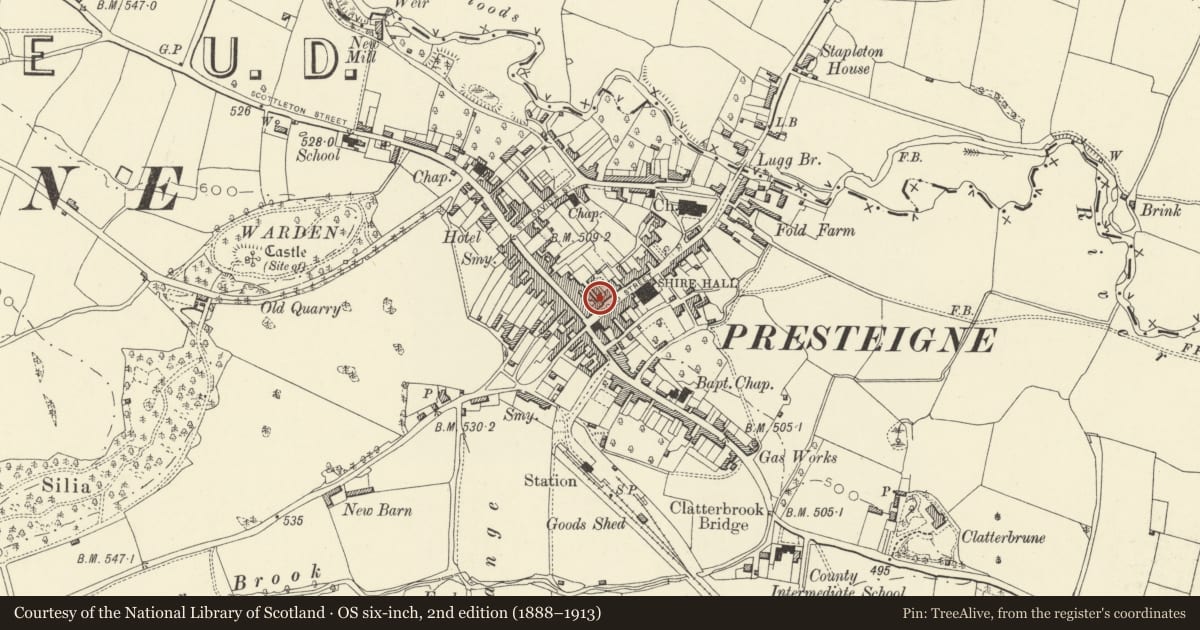
5 historical maps cover this location, the earliest the 1637 map "Particular description of Wales. Cambria seu Wallia" (David Rumsey Map Collection, Stanford Libraries).
Historical maps covering this location
- 1637 · Particular description of Wales. Cambria seu Wallia (David Rumsey Map Collection, Stanford Libraries)
- 1830 · V.3:11-15:XV.Britisches Reich. A. Kon: England. a. England ab sich: Shire:15-17, 33 (David Rumsey Map Collection, Stanford Libraries)
- 1883 · Watershed map England, Wales 3. (David Rumsey Map Collection, Stanford Libraries)
- 1899 · 180 Knighton (Hills) (David Rumsey Map Collection, Stanford Libraries)
- 1901 · Sheet 14. (David Rumsey Map Collection, Stanford Libraries)
Cadw's description
Exterior
Wide 3 storey late Georgian stucco front with end pilasters to upper floors of main 3 window part, further one window bay set back on right. Slate roof, brick stacks, wide eaves (no cornice or entablature). Sash and case windows (some pivots) with glazing bars, flush-set architraves, one splayed bay cantilevered over shop front to left. Overall dentil cornice and fascia supported by small pilasters to ground floor, double shop front to left with large-pane glazing. Double doors to centre entry, small canted bay to right with wide boarded doors further right. Open timber hand rail to rear stairs, other interiors not seen.
Reason for designation
Group value.
Nearby in the register
- 2 Broad StreetCommercialunder 1 mi
- 1 Broad StreetCommercialunder 1 mi
- Ossington HouseDomesticunder 1 mi
- Duke's Arms PH including Off-Licence shopCommercialunder 1 mi
Other entries of the same register within about three miles of this one, by straight line.