Cof Cymru: National Historic Assets of Wales · Wales
Former Meeting House to left of Gladestry Post Offices
Gladestry, Powys, Wales
A Grade II listed building in Gladestry, Powys, designated on 21 September 1962.
The record
- Designation
- Listed building, Grade II
- Broad class
- Domestic
- Date of designation
- 21 September 1962
- Town
- Gladestry
- Community
- Gladestry
- Unitary authority
- Powys
- Country
- Wales
- Coordinates
- 52.18908, -3.12374
- Cadw reference
- 8775
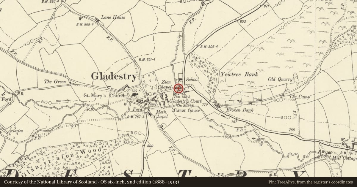
Slide toward Today to fade the historical sheet and see the modern map underneath.
David Rumsey Map Collection, Stanford LibrariesDavid Rumsey Map Collection, Stanford LibrariesDavid Rumsey Map Collection, Stanford LibrariesDavid Rumsey Map Collection, Stanford LibrariesDavid Rumsey Map Collection, Stanford Libraries
5 historical maps cover this location, the earliest the 1608 map "(13) Cambriae Typus." (David Rumsey Map Collection, Stanford Libraries).
Historical maps covering this location
- 1608 · (13) Cambriae Typus. (David Rumsey Map Collection, Stanford Libraries)
- 1637 · Particular description of Wales. Cambria seu Wallia (David Rumsey Map Collection, Stanford Libraries)
- 1883 · Watershed map England, Wales 3. (David Rumsey Map Collection, Stanford Libraries)
- 1898 · 197 Hay (Hills) (David Rumsey Map Collection, Stanford Libraries)
- 1901 · Sheet 14. (David Rumsey Map Collection, Stanford Libraries)
Cadw's description
Location
Village centre, fronting through road 200 yards NE of Parish Church.
Exterior
C18 and mid C19 with Gothick detailing. Formerly the Meeting House of a Friendly Society, The Loyal Order of Ancient Shepherds, and in 1840's used for Baptist services. Coursed rubble blocks, two rubble side stacks, slate roof, deep-set eaves, decorated bargeboards and eaves brackets. Openings under elaborate ogee hood moulds. Two large central windows, the upper one modern, the lower one original, multi-paned iron frame in timber surround. Recessed modern door to left up steps, boarded basement door to lower right. In apex, plaque showing the sign of the Lodge, a heart within a hand.
Reason for designation
An unusual building in a small village location.
Nearby in the register
- Gladestry CourtDomesticunder 1 mi
- Corner HouseDomesticunder 1 mi
- Detached former Smithy Range (near The White Hart)Domesticunder 1 mi
- The White HeartCommercialunder 1 mi
Other entries of the same register within about three miles of this one, by straight line.