Cof Cymru: National Historic Assets of Wales · Wales
Pen Cefyl
Goetre Fawr, Monmouthshire, Wales
A Grade II listed building in Llanover, Abergavenny, Goetre Fawr, Monmouthshire, designated on 9 December 2005.
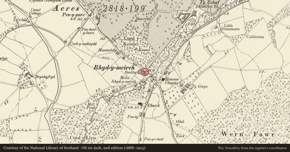
The record
- Designation
- Listed building, Grade II
- Broad class
- Domestic
- Date of designation
- 9 December 2005
- Locality
- Llanover
- Town
- Abergavenny
- Community
- Goetre Fawr
- Unitary authority
- Monmouthshire
- Country
- Wales
- Coordinates
- 51.76617, -2.99475
- Cadw reference
- 87187
Slide toward Today to fade the historical sheet and see the modern map underneath.
David Rumsey Map Collection, Stanford LibrariesDavid Rumsey Map Collection, Stanford LibrariesDavid Rumsey Map Collection, Stanford LibrariesDavid Rumsey Map Collection, Stanford LibrariesDavid Rumsey Map Collection, Stanford Libraries
5 historical maps cover this location, the earliest the 1636 map "Cornubia : Devonia, Somersetus, Dorcestria, Wiltonia, Glocestria ..." (David Rumsey Map Collection, Stanford Libraries).
Historical maps covering this location
- 1636 · Cornubia : Devonia, Somersetus, Dorcestria, Wiltonia, Glocestria ... (David Rumsey Map Collection, Stanford Libraries)
- 1895 · Sheet 11. Ordnance Survey of England and Wales. (David Rumsey Map Collection, Stanford Libraries)
- 1898 · 232 Abergavenny (Hills) (David Rumsey Map Collection, Stanford Libraries)
- 1898 · 232 Abergavenny (Outline) (David Rumsey Map Collection, Stanford Libraries)
- 1913 · Sheet 102. Newport. (David Rumsey Map Collection, Stanford Libraries)
Cadw's description
Location
On the west side of the A4052 in the centre of Llanover village.
History
Probably early C19 estate cottages which have had very little external alteration. Originally 4 cottages, the central pair now one dwelling.
Interior
Interior not seen at resurvey, but the houses must have very small rooms.
Reason for designation
Included for its special interest as one of a group of houses in this important estate village, retaining good estate character.
Nearby in the register
- Pen CefylDomesticunder 1 mi
- Pen CefylDomesticunder 1 mi
- Mill HouseDomesticunder 1 mi
- Milestone-Abergavenny 4Transportunder 1 mi
Other entries of the same register within about three miles of this one, by straight line.