Cof Cymru: National Historic Assets of Wales · Wales
Gates and Gatepiers to Hanover Chapel
Goetre Fawr, Monmouthshire, Wales
A Grade II listed building in Llanover, Abergavenny, Goetre Fawr, Monmouthshire, designated on 9 December 2005.
The record
- Designation
- Listed building, Grade II
- Broad class
- Religious, Ritual and Funerary
- Date of designation
- 9 December 2005
- Locality
- Llanover
- Town
- Abergavenny
- Community
- Goetre Fawr
- Unitary authority
- Monmouthshire
- Country
- Wales
- Coordinates
- 51.76587, -2.99317
- Cadw reference
- 87156
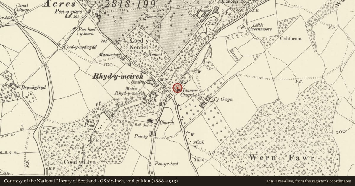
Slide toward Today to fade the historical sheet and see the modern map underneath.
David Rumsey Map Collection, Stanford LibrariesDavid Rumsey Map Collection, Stanford LibrariesDavid Rumsey Map Collection, Stanford LibrariesDavid Rumsey Map Collection, Stanford LibrariesDavid Rumsey Map Collection, Stanford Libraries
5 historical maps cover this location, the earliest the 1636 map "Cornubia : Devonia, Somersetus, Dorcestria, Wiltonia, Glocestria ..." (David Rumsey Map Collection, Stanford Libraries).
Historical maps covering this location
- 1636 · Cornubia : Devonia, Somersetus, Dorcestria, Wiltonia, Glocestria ... (David Rumsey Map Collection, Stanford Libraries)
- 1895 · Sheet 11. Ordnance Survey of England and Wales. (David Rumsey Map Collection, Stanford Libraries)
- 1898 · 232 Abergavenny (Hills) (David Rumsey Map Collection, Stanford Libraries)
- 1898 · 232 Abergavenny (Outline) (David Rumsey Map Collection, Stanford Libraries)
- 1913 · Sheet 102. Newport. (David Rumsey Map Collection, Stanford Libraries)
Cadw's description
Location
At the road entrance to Hanover Chapel.
History
The gatepiers are probably contemporary with the chapel and thus 1840, but the gates could date with the 1892-3 alterations.
Exterior
Square ashlar sandstone gatepiers with plain peaked caps. Wrought iron double gates with swept sides and dog-bars.
Reason for designation
Included for group value with Hanover Chapel.
Nearby in the register
- Hanover ChapelReligious, Ritual and Funeraryunder 1 mi
- HanoverReligious, Ritual and Funeraryunder 1 mi
- Milestone-Abergavenny 4Transportunder 1 mi
- Mill HouseDomesticunder 1 mi
Other entries of the same register within about three miles of this one, by straight line.