Cof Cymru: National Historic Assets of Wales · Wales
The Liberal Chambers
Haverfordwest, Pembrokeshire, Wales
A Grade II listed building in Haverfordwest, Pembrokeshire, designated on 30 November 2005.
The record
- Designation
- Listed building, Grade II
- Broad class
- Institutional
- Date of designation
- 30 November 2005
- Town
- Haverfordwest
- Community
- Haverfordwest
- Unitary authority
- Pembrokeshire
- Country
- Wales
- Coordinates
- 51.80150, -4.97172
- Cadw reference
- 87064
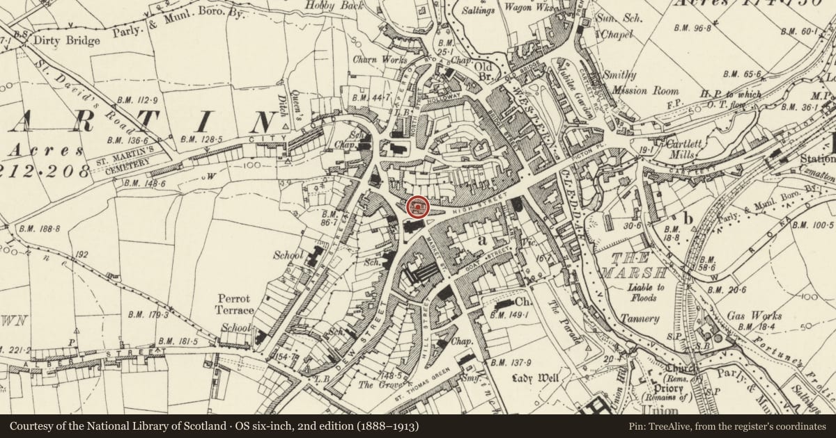
Slide toward Today to fade the historical sheet and see the modern map underneath.
David Rumsey Map Collection, Stanford LibrariesDavid Rumsey Map Collection, Stanford LibrariesDavid Rumsey Map Collection, Stanford LibrariesDavid Rumsey Map Collection, Stanford LibrariesDavid Rumsey Map Collection, Stanford Libraries
5 historical maps cover this location, the earliest the 1608 map "(13) Cambriae Typus." (David Rumsey Map Collection, Stanford Libraries).
Historical maps covering this location
- 1608 · (13) Cambriae Typus. (David Rumsey Map Collection, Stanford Libraries)
- 1636 · Cornubia : Devonia, Somersetus, Dorcestria, Wiltonia, Glocestria ... (David Rumsey Map Collection, Stanford Libraries)
- 1891 · Sheet 10. Ordnance Survey of England and Wales. . (David Rumsey Map Collection, Stanford Libraries)
- 1898 · 228 Haverfordwest (Hills) (David Rumsey Map Collection, Stanford Libraries)
- 1901 · Sheet 13. (David Rumsey Map Collection, Stanford Libraries)
Cadw's description
Location
Situated recessed with forecourt between the former assembly rooms and former Temperance Hall.
History
Former Liberal Club, opened in 1913.
Exterior
Former Liberal Club, painted stucco with roof behind parapet. Two storeys, three bays in Beaux-Arts classical style. Channelled pilasters at outer angles and framing centre bay, with labels under cornice which breaks forward over each pier, and is broken in narrow centre bay for an open pediment. Parapet with raised piers over each pilaster, and taller parapet above centre pediment, with outer piers partly behind piers of main parapet. Centre recessed French windows with blind arch over and keystone, opening onto iron-railed balcony over projecting broad porch. Porch has channelled square piers with simple capitals. Outer bays have plate glass sash window each floor, spaced closer to the centre bay. Moulded sills. Centre recessed entry with double doors.
Rear to Dark Street is rubble stone, three-storey, with close-eaved slate roof and brick cambered heads to windows. Nine-pane sash windows to top floor each side and lower centre stair light; plate glass to first floor and 12-pane to lower stair light; basement window each side of a tall cambered-headed doorway with C20 door, overlight and boarding above.
Interior
Interior not inspected.
Reason for designation
Included as an early C20 formal classical building, of group value with the Assembly Rooms and Temperance Hall.
Nearby in the register
- Former Temperance HallCommercialunder 1 mi
- The Assembly RoomsRecreationalunder 1 mi
- Former Stables attached to No 6 Dark StreetNo class recordedunder 1 mi
- Summerville HouseDomesticunder 1 mi
Other entries of the same register within about three miles of this one, by straight line.