Cof Cymru: National Historic Assets of Wales · Wales
Nos 9 & 10 Dark Street
Haverfordwest, Pembrokeshire, Wales
A Grade II listed building in Haverfordwest, Pembrokeshire, designated on 30 November 2005.
The record
- Designation
- Listed building, Grade II
- Broad class
- Domestic
- Date of designation
- 30 November 2005
- Town
- Haverfordwest
- Community
- Haverfordwest
- Unitary authority
- Pembrokeshire
- Country
- Wales
- Coordinates
- 51.80167, -4.97212
- Cadw reference
- 87053
Slide toward Today to fade the historical sheet and see the modern map underneath.
David Rumsey Map Collection, Stanford LibrariesDavid Rumsey Map Collection, Stanford LibrariesDavid Rumsey Map Collection, Stanford LibrariesDavid Rumsey Map Collection, Stanford LibrariesDavid Rumsey Map Collection, Stanford Libraries
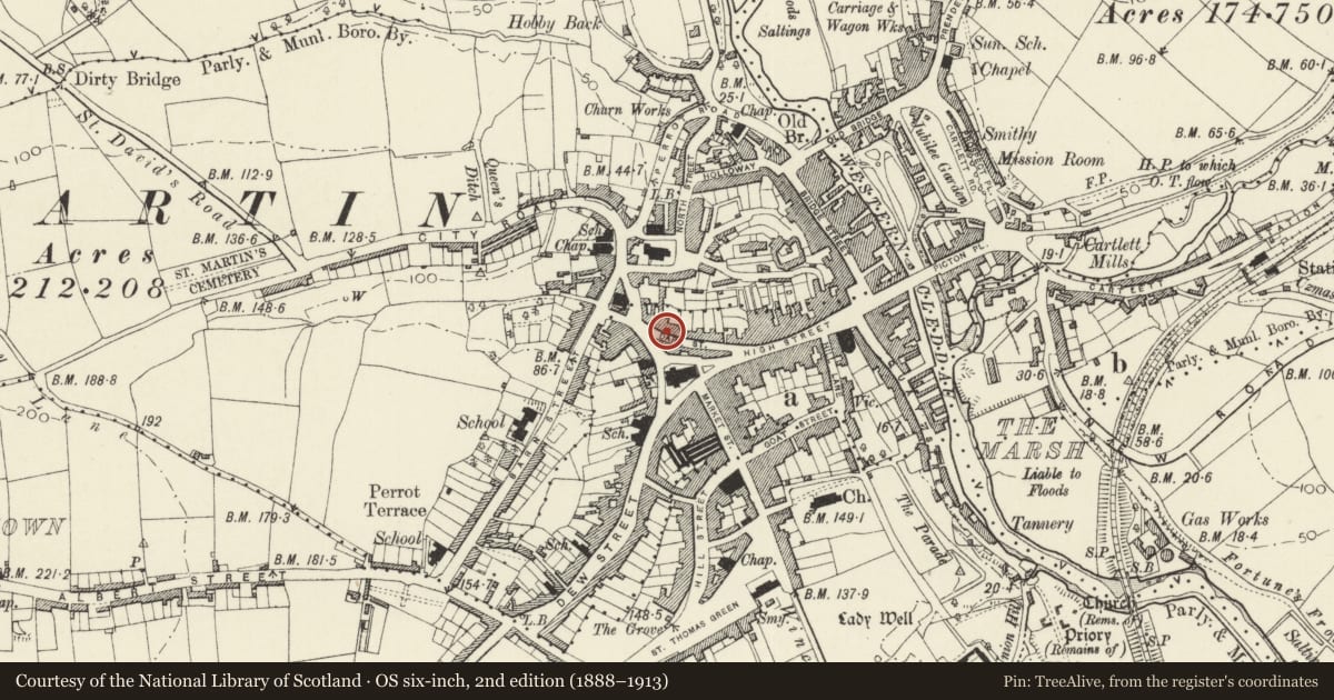
5 historical maps cover this location, the earliest the 1608 map "(13) Cambriae Typus." (David Rumsey Map Collection, Stanford Libraries).
Historical maps covering this location
- 1608 · (13) Cambriae Typus. (David Rumsey Map Collection, Stanford Libraries)
- 1636 · Cornubia : Devonia, Somersetus, Dorcestria, Wiltonia, Glocestria ... (David Rumsey Map Collection, Stanford Libraries)
- 1891 · Sheet 10. Ordnance Survey of England and Wales. . (David Rumsey Map Collection, Stanford Libraries)
- 1898 · 228 Haverfordwest (Hills) (David Rumsey Map Collection, Stanford Libraries)
- 1901 · Sheet 13. (David Rumsey Map Collection, Stanford Libraries)
Cadw's description
Location
Situated in terraced row, a low two-storey house between the three-storey Nos 8 and 11.
History
Former pair of houses now one, probably earlier to mid C19. The Gothic shopwindow is a rare survival, though similar ones may partly survive on No 13.
Exterior
Terraced house, painted lined stucco with close-eaved slate roof and right end stack built up gable end of No 8. Two-storey, three-bay front with blank window over centre plate glass sash and recessed C20 door, the sash with slate sill. Right half has a renewed plate-glass sash to ground floor and a renewed 4-8-4-pane tripartite sash above, both with wooden sills. Left house has a square shop window with 3-light timber glazing, pointed heads to lights and a centre transom. Plate glass sash above with concrete sill.
Rear has two large C20 dormers, three tiny first floor 9-pane windows, the centre one smaller than the other two and ground floor added lean-to.
Interior
Interior not inspected.
Reason for designation
Included principally for surviving Gothic shop window, and for group value with adjacent houses.
Nearby in the register
- 11 Dark StreetDomesticunder 1 mi
- Somerset HouseDomesticunder 1 mi
- 12 Dark StreetDomesticunder 1 mi
- 5 Tower HillDomesticunder 1 mi
Other entries of the same register within about three miles of this one, by straight line.