Cof Cymru: National Historic Assets of Wales · Wales
Post Box outside No.9 The Watton
Brecon, Powys, Wales
A Grade II listed building in Brecon, Powys, designated on 4 November 2005.
The record
- Designation
- Listed building, Grade II
- Broad class
- Commercial
- Date of designation
- 4 November 2005
- Town
- Brecon
- Community
- Brecon
- Unitary authority
- Powys
- Country
- Wales
- Coordinates
- 51.94463, -3.38513
- Cadw reference
- 85794
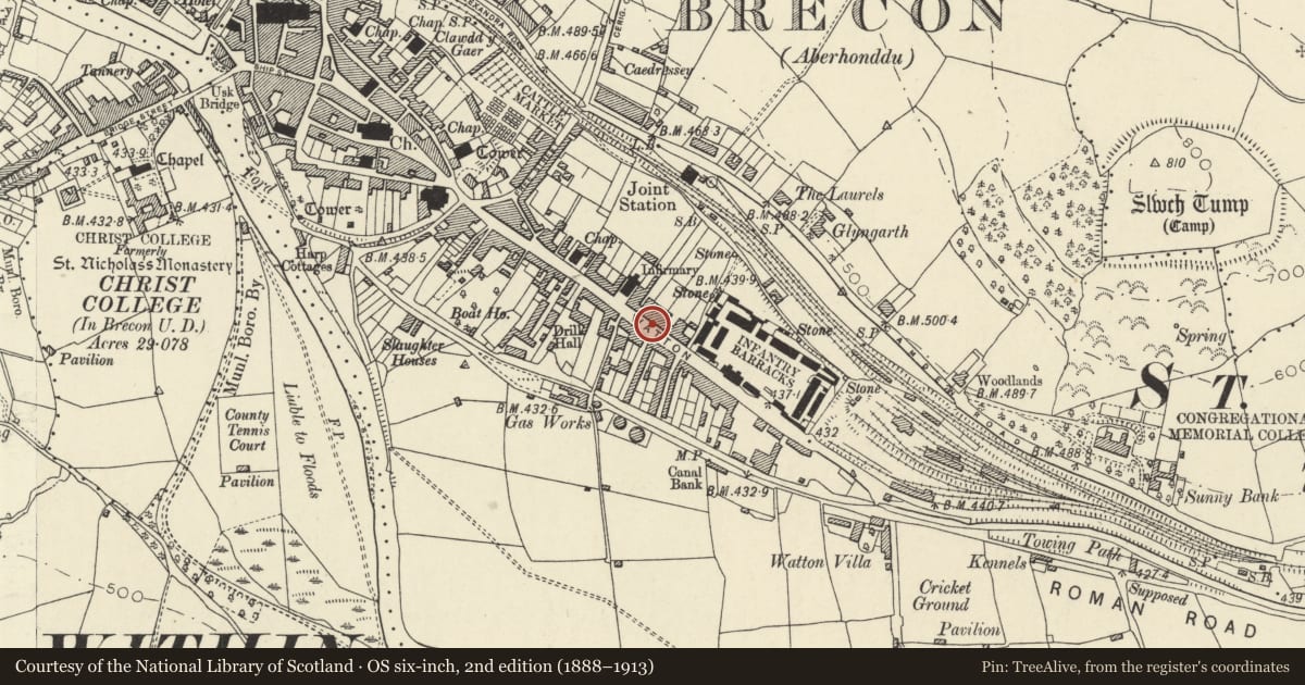
Slide toward Today to fade the historical sheet and see the modern map underneath.
David Rumsey Map Collection, Stanford LibrariesDavid Rumsey Map Collection, Stanford LibrariesDavid Rumsey Map Collection, Stanford LibrariesDavid Rumsey Map Collection, Stanford LibrariesDavid Rumsey Map Collection, Stanford Libraries
5 historical maps cover this location, the earliest the 1608 map "(13) Cambriae Typus." (David Rumsey Map Collection, Stanford Libraries).
Historical maps covering this location
- 1608 · (13) Cambriae Typus. (David Rumsey Map Collection, Stanford Libraries)
- 1636 · Cornubia : Devonia, Somersetus, Dorcestria, Wiltonia, Glocestria ... (David Rumsey Map Collection, Stanford Libraries)
- 1856 · 42. Brecon. (David Rumsey Map Collection, Stanford Libraries)
- 1898 · 213 Brecon (Hills) (David Rumsey Map Collection, Stanford Libraries)
- 1901 · Sheet 14. (David Rumsey Map Collection, Stanford Libraries)
Cadw's description
Location
On pavement outside No.9 The Watton.
History
Late C19. Bears monogram Queen Victoria.
Exterior
Cast iron pillar box to standard design. Domical cap with fluting, plinth. Door bears monogram of Queen Victoria. Maker's stamp partly obscured, but apparently Handiside of Derby.
Reason for designation
Included for Group Value with other listed buildings in The Watton.
Nearby in the register
- 9 The WattonDomesticunder 1 mi
- 8 The WattonNo class recordedunder 1 mi
- 10 The WattonNo class recordedunder 1 mi
- 7 The WattonDomesticunder 1 mi
Other entries of the same register within about three miles of this one, by straight line.