Cof Cymru: National Historic Assets of Wales · Wales
Pembroke Castle Shop
Pembroke, Pembrokeshire, Wales
A Grade II listed building in Pembroke, Pembrokeshire, designated on 29 July 2005.
The record
- Designation
- Listed building, Grade II
- Broad class
- Commercial
- Date of designation
- 29 July 2005
- Locality
- Pembroke
- Town
- Pembroke
- Community
- Pembroke
- Unitary authority
- Pembrokeshire
- Country
- Wales
- Coordinates
- 51.67647, -4.91956
- Cadw reference
- 84950
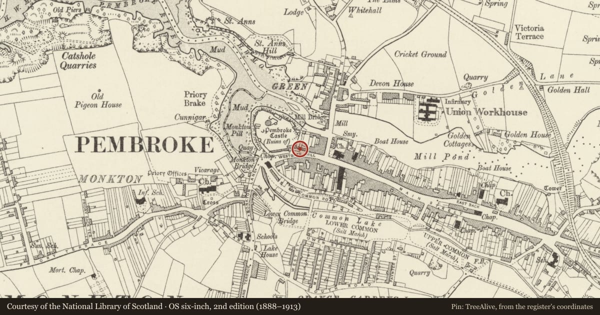
Slide toward Today to fade the historical sheet and see the modern map underneath.
David Rumsey Map Collection, Stanford LibrariesDavid Rumsey Map Collection, Stanford LibrariesDavid Rumsey Map Collection, Stanford LibrariesDavid Rumsey Map Collection, Stanford LibrariesDavid Rumsey Map Collection, Stanford Libraries
5 historical maps cover this location, the earliest the 1636 map "Cornubia : Devonia, Somersetus, Dorcestria, Wiltonia, Glocestria ..." (David Rumsey Map Collection, Stanford Libraries).
Historical maps covering this location
- 1636 · Cornubia : Devonia, Somersetus, Dorcestria, Wiltonia, Glocestria ... (David Rumsey Map Collection, Stanford Libraries)
- 1865 · England and Wales. England No. 6. (David Rumsey Map Collection, Stanford Libraries)
- 1891 · Sheet 10. Ordnance Survey of England and Wales. . (David Rumsey Map Collection, Stanford Libraries)
- 1898 · 245 Pembroke (Hills) (David Rumsey Map Collection, Stanford Libraries)
- 1901 · Sheet 13. (David Rumsey Map Collection, Stanford Libraries)
Cadw's description
Location
Near the top of Westgate Hill on the N side of the road at the entrance to Pembroke Castle.
History
Much rebuilt stone single-storey building, rebuilt in 1991 to designs by Gareth Scourfield as historical exhibition, now bookshop and ticket office for Pembroke Castle. Two storeys below, the basement storey possibly medieval stone vaulted room.
Exterior
Rubble stone building, single-storey to castle approach, with concrete plain tiles to roof and stone end stacks. Facade offset to left, three openings, centre door and outer recessed C20 casement windows in splayed full length reveals. Rendered end walls. Rear wall is rendered. Sub-basement, at ground level from garden, has centre door and two loops.
Interior
Basement has curved stone vault, running N-S, splayed reveals to loops on entrance wall and blocked doorway in SE corner. Stone bench on S end wall and two recesses. Straight joint to right of centre.
Shop interior has 3 pegged collar trusses.
Reason for designation
Included principally for the special interest of the surviving vaulted basement.
Nearby in the register
- War memorialCommemorativeunder 1 mi
- Former Drill Hall front buildingsCivilunder 1 mi
- 3 Westgate HillDomesticunder 1 mi
- Cromwell HouseDomesticunder 1 mi
Other entries of the same register within about three miles of this one, by straight line.