Cof Cymru: National Historic Assets of Wales · Wales
Cefn Uchaf
Glyn Tarell, Powys, Wales
A Grade II listed building in Llanspyddid, Brecon, Glyn Tarell, Powys, designated on 22 June 2005.
The record
- Designation
- Listed building, Grade II
- Broad class
- Domestic
- Date of designation
- 22 June 2005
- Locality
- Llanspyddid
- Town
- Brecon
- Community
- Glyn Tarell
- Unitary authority
- Powys
- Country
- Wales
- Coordinates
- 51.94214, -3.46127
- Cadw reference
- 84500
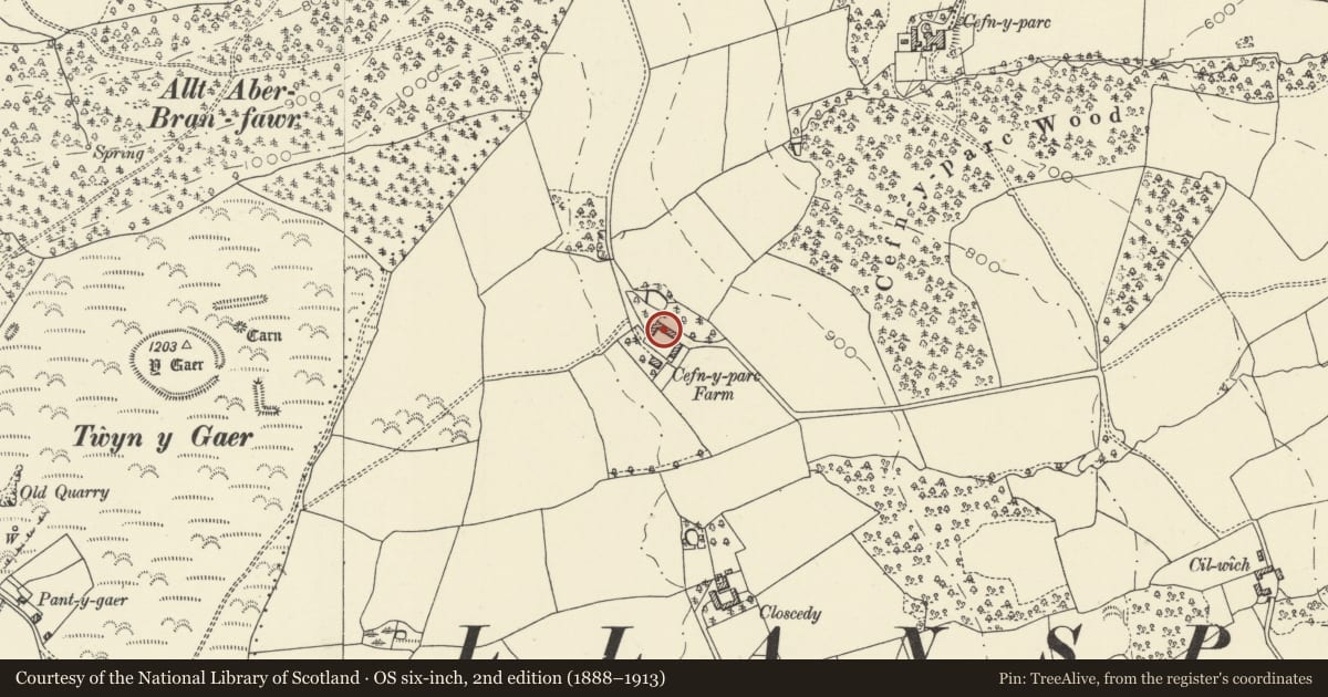
Slide toward Today to fade the historical sheet and see the modern map underneath.
David Rumsey Map Collection, Stanford LibrariesDavid Rumsey Map Collection, Stanford LibrariesDavid Rumsey Map Collection, Stanford LibrariesDavid Rumsey Map Collection, Stanford LibrariesDavid Rumsey Map Collection, Stanford Libraries
5 historical maps cover this location, the earliest the 1636 map "Cornubia : Devonia, Somersetus, Dorcestria, Wiltonia, Glocestria ..." (David Rumsey Map Collection, Stanford Libraries).
Historical maps covering this location
- 1636 · Cornubia : Devonia, Somersetus, Dorcestria, Wiltonia, Glocestria ... (David Rumsey Map Collection, Stanford Libraries)
- 1830 · V.3:11-15:XV. Britisches Reich. A. Kon: England. b. Frstenthum Wales: Shire: 37-40 (David Rumsey Map Collection, Stanford Libraries)
- 1856 · 42. Brecon. (David Rumsey Map Collection, Stanford Libraries)
- 1898 · 213 Brecon (Hills) (David Rumsey Map Collection, Stanford Libraries)
- 1901 · Sheet 14. (David Rumsey Map Collection, Stanford Libraries)
Cadw's description
Location
Situated at end of a long lane running N and W from Cilwych, some 800m SW of Llanspyddid village.
History
C18 large farmhouse, deeds said to go back to the 1740s. Associated with the Penpont estate and Cefnyparc house.
Exterior
House, whitewashed rubble stone with slate roof, flat eaves and rendered end stacks. Two storeys and attic, four-window range of hopper-type windows, 9-pane above, 12-pane below, with cambered heads, stone voussoirs and thin stone sills. C20 door in third bay. Rendered right end wall with C20 windows, one to loft and three to right in end of a large rear outshut.
Interior
Interior not inspected.
Reason for designation
Included for its special interest as a substantial Georgian farmhouse which has retained its character.
Nearby in the register
- Twyn-y-GaerPillow Moundunder 1 mi
- Outbuildings at CilwychAgriculture and Subsistenceunder 1 mi
- CilwychDomesticunder 1 mi
- Aberbran FawrDomesticunder 1 mi
Other entries of the same register within about three miles of this one, by straight line.