Cof Cymru: National Historic Assets of Wales · Wales
The Traveller's Rest
Llanidloes, Powys, Wales
A Grade II listed building in Llanidloes, Powys, designated on 10 April 1989.
The record
- Designation
- Listed building, Grade II
- Broad class
- Commercial
- Date of designation
- 10 April 1989
- Community
- Llanidloes
- Unitary authority
- Powys
- Country
- Wales
- Coordinates
- 52.44930, -3.54016
- Cadw reference
- 8324
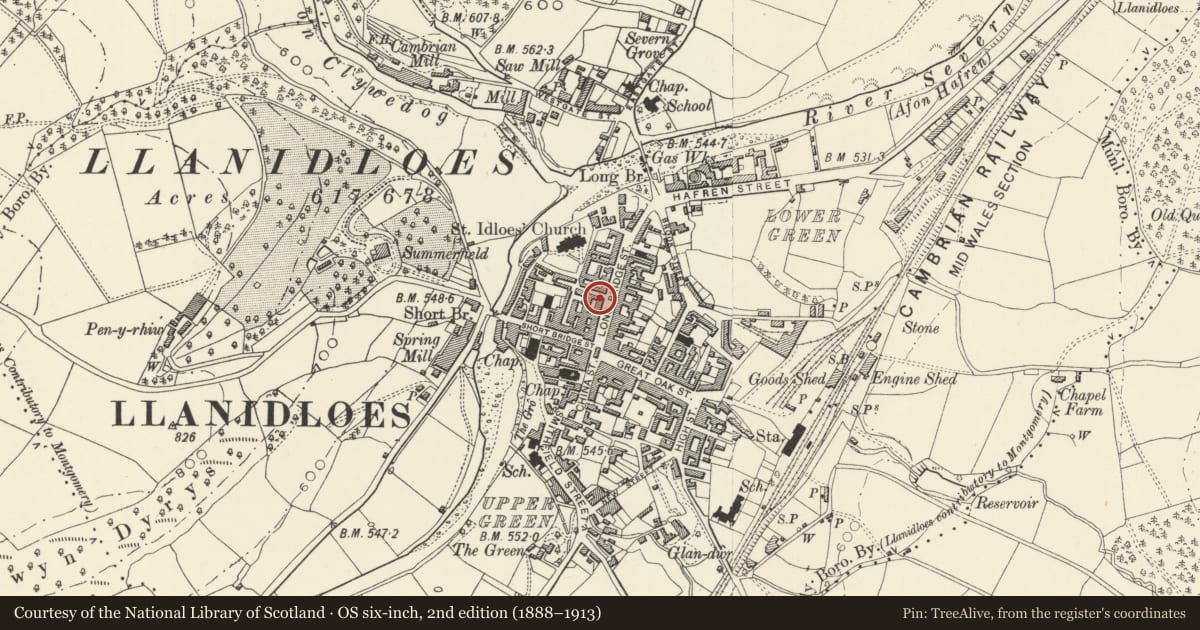
Slide toward Today to fade the historical sheet and see the modern map underneath.
David Rumsey Map Collection, Stanford LibrariesDavid Rumsey Map Collection, Stanford LibrariesDavid Rumsey Map Collection, Stanford LibrariesDavid Rumsey Map Collection, Stanford LibrariesDavid Rumsey Map Collection, Stanford Libraries
5 historical maps cover this location, the earliest the 1608 map "(13) Cambriae Typus." (David Rumsey Map Collection, Stanford Libraries).
Historical maps covering this location
- 1608 · (13) Cambriae Typus. (David Rumsey Map Collection, Stanford Libraries)
- 1637 · Particular description of Wales. Cambria seu Wallia (David Rumsey Map Collection, Stanford Libraries)
- 1883 · Watershed map England, Wales 3. (David Rumsey Map Collection, Stanford Libraries)
- 1899 · 164 Llanidloes (Hills) (David Rumsey Map Collection, Stanford Libraries)
- 1901 · Sheet 14. (David Rumsey Map Collection, Stanford Libraries)
Cadw's description
Exterior
8324
At the end of a row of frontages, on the corner with Church Lane.
Probably C18 origins as with the adjoining Red Lion Hotel; considerably later C19 alterations including rewindowing and addition of vermiculated quoins and rusticated ground floor with plinth. 3-storey, 2-window scribed render front. Slate roof, continuous with the Red Lion with bracket eaves; brick stack to left and cement render stack to right. Recessed sash windows with margins and cills; 4-pane to left and tripartite to right - the 2nd floor windows have shallower upper sashes. Shop front to ground floor right with cornice and end brackets; 2-windows flanking central splayed entrance with half glazed door - the fascia and cornice are continued to left over similar door (with panelled reveals) to house.
The quoins and rustication overlap the corner. The gable end to Church Lane is slate hung from midway up ground floor as is the attached 2-window cross range. 4-pane windows mostly sash and boarded loft door with raised gabled winch cover. Extreme right end has a painted over small pane metal frame window besides a window in a former door opening. Splayed corner leads to twin gabled rear, also slate hung - various sash windows and one casement. Modern kitchen door and window.
Included for group value.
Nearby in the register
- Red Lion Hotel P.H.Commercialunder 1 mi
- Midland BankCommercialunder 1 mi
- Elephant HotelCommercialunder 1 mi
- Clywedog HouseCommercialunder 1 mi
Other entries of the same register within about three miles of this one, by straight line.