Cof Cymru: National Historic Assets of Wales · Wales
Summerhouse Folly in the grounds of Maenol
Llanidloes, Powys, Wales
A Grade II listed building in Llanidloes, Powys, designated on 10 April 1989.
The record
- Designation
- Listed building, Grade II
- Broad class
- Gardens, Parks and Urban Spaces
- Date of designation
- 10 April 1989
- Community
- Llanidloes
- Unitary authority
- Powys
- Country
- Wales
- Coordinates
- 52.44114, -3.54276
- Cadw reference
- 8316
Slide toward Today to fade the historical sheet and see the modern map underneath.
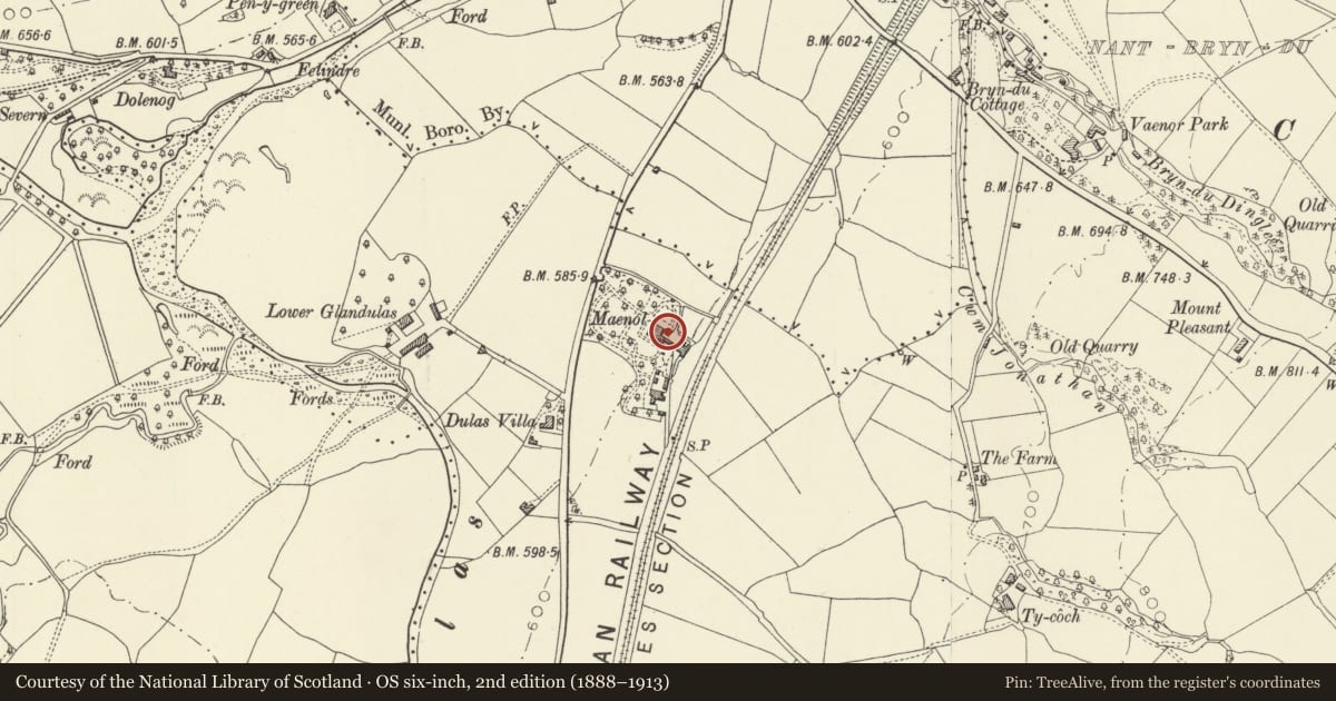
David Rumsey Map Collection, Stanford LibrariesDavid Rumsey Map Collection, Stanford LibrariesDavid Rumsey Map Collection, Stanford LibrariesDavid Rumsey Map Collection, Stanford LibrariesDavid Rumsey Map Collection, Stanford Libraries
5 historical maps cover this location, the earliest the 1608 map "(13) Cambriae Typus." (David Rumsey Map Collection, Stanford Libraries).
Historical maps covering this location
- 1608 · (13) Cambriae Typus. (David Rumsey Map Collection, Stanford Libraries)
- 1637 · Particular description of Wales. Cambria seu Wallia (David Rumsey Map Collection, Stanford Libraries)
- 1883 · Watershed map England, Wales 3. (David Rumsey Map Collection, Stanford Libraries)
- 1899 · 164 Llanidloes (Hills) (David Rumsey Map Collection, Stanford Libraries)
- 1901 · Sheet 14. (David Rumsey Map Collection, Stanford Libraries)
Cadw's description
Location
At the edge of the field immediately to the rear of Maenol. Faces N.
History
Probably contemporary with the house (1832) as said to have been built by Thomas Evans as a peaceful shelter into which to retreat. It is possible, however that it was in fact built by Major Evans as an icehouse and converted in more recent years to a shelter when it was no longer possible or indeed necesary to obtain large quantities of ice.
Exterior
Square rubble structure with the domed corbelled roof. Full height round arched entrance with shell lined reveal and underside of arch. Similar shell grotto type applied decoration is used on rear wall including inset pieces of quartz. 1 small window to each side. Stone floor.
Reason for designation
Included for group value with Maenol.
Nearby in the register
- MaenolDomesticunder 1 mi
- Former Coach-House and Stables at Maenol (Maenol Cottage)Domesticunder 1 mi
- The GreenDomesticunder 1 mi
- The FriaryDomesticunder 1 mi
Other entries of the same register within about three miles of this one, by straight line.