Cof Cymru: National Historic Assets of Wales · Wales
Pigsty range to N of stable-yard at Lancych
Clydau, Pembrokeshire, Wales
A Grade II listed building in Cwm Cych, Boncath, Clydau, Pembrokeshire, designated on 19 August 2004.
The record
- Designation
- Listed building, Grade II
- Broad class
- Agriculture and Subsistence
- Date of designation
- 19 August 2004
- Locality
- Cwm Cych
- Town
- Boncath
- Community
- Clydau
- Unitary authority
- Pembrokeshire
- Country
- Wales
- Coordinates
- 52.01662, -4.53590
- Cadw reference
- 83065
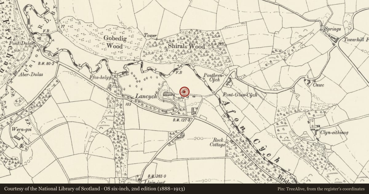
Slide toward Today to fade the historical sheet and see the modern map underneath.
David Rumsey Map Collection, Stanford LibrariesDavid Rumsey Map Collection, Stanford LibrariesDavid Rumsey Map Collection, Stanford LibrariesDavid Rumsey Map Collection, Stanford LibrariesDavid Rumsey Map Collection, Stanford Libraries
5 historical maps cover this location, the earliest the 1636 map "Cornubia : Devonia, Somersetus, Dorcestria, Wiltonia, Glocestria ..." (David Rumsey Map Collection, Stanford Libraries).
Historical maps covering this location
- 1636 · Cornubia : Devonia, Somersetus, Dorcestria, Wiltonia, Glocestria ... (David Rumsey Map Collection, Stanford Libraries)
- 1830 · V.3:11-15:XV. Britisches Reich. A. Kon: England. b. Frstenthum Wales: Shire: 37-40 (David Rumsey Map Collection, Stanford Libraries)
- 1891 · Sheet 10. Ordnance Survey of England and Wales. . (David Rumsey Map Collection, Stanford Libraries)
- 1898 · 211 Newcastle Emlyn (Hills) (David Rumsey Map Collection, Stanford Libraries)
- 1901 · Sheet 14. (David Rumsey Map Collection, Stanford Libraries)
Cadw's description
Location
Built into the valley slope just N of a service yard some 60m E of the house of Lancych.
History
Pig-sty range, probably mid C19. The yards on the N side although overgrown are at a lower level and may indicate a rare example of a two tier pig-sty.
Exterior
Pig-sty range, rubble stone with slate roof. Low single-storey, with three chambers, two with low entries and slate slab lintels, the third to right with taller opening. Two blocked small openings in wall, in line with dividing walls of outside yards. Sties open onto small yards with 2 slate dividing walls of upright floor slabs and rubble walls around with slate coping. On the N side at a lower level are two further small yards with similar dividing walls and rubble walls.
Interior
Not inspected.
Reason for designation
Included for group value with the listed buildings of the stable yard at Lancych.
Nearby in the register
- Range opposite the coach-house at LancychAgriculture and Subsistenceunder 1 mi
- Coach house at LancychDomesticunder 1 mi
- LancychDomesticunder 1 mi
- GobedigDomesticunder 1 mi
Other entries of the same register within about three miles of this one, by straight line.