Cof Cymru: National Historic Assets of Wales · Wales
Angel Inn PH
Llanidloes, Powys, Wales
A Grade II listed building in Llanidloes, Powys, designated on 10 April 1989.
The record
- Designation
- Listed building, Grade II
- Broad class
- Commercial
- Date of designation
- 10 April 1989
- Community
- Llanidloes
- Unitary authority
- Powys
- Country
- Wales
- Coordinates
- 52.44775, -3.53797
- Cadw reference
- 8293
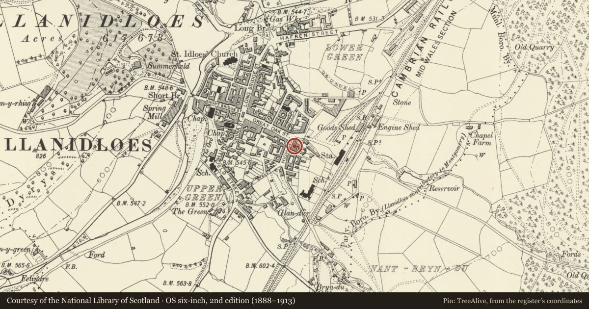
Slide toward Today to fade the historical sheet and see the modern map underneath.
David Rumsey Map Collection, Stanford LibrariesDavid Rumsey Map Collection, Stanford LibrariesDavid Rumsey Map Collection, Stanford LibrariesDavid Rumsey Map Collection, Stanford LibrariesDavid Rumsey Map Collection, Stanford Libraries
5 historical maps cover this location, the earliest the 1608 map "(13) Cambriae Typus." (David Rumsey Map Collection, Stanford Libraries).
Historical maps covering this location
- 1608 · (13) Cambriae Typus. (David Rumsey Map Collection, Stanford Libraries)
- 1637 · Particular description of Wales. Cambria seu Wallia (David Rumsey Map Collection, Stanford Libraries)
- 1883 · Watershed map England, Wales 3. (David Rumsey Map Collection, Stanford Libraries)
- 1899 · 164 Llanidloes (Hills) (David Rumsey Map Collection, Stanford Libraries)
- 1901 · Sheet 14. (David Rumsey Map Collection, Stanford Libraries)
Cadw's description
Location
Midway between the junctions with Cambrian Place and Cemetery Square.
History
Dated internally 1748; built by Oliver Davies.
Exterior
Half-timbered type ''C'' plan with lobby entry and central chimney stack. 2-storey broadly spaced 2-window front; scribed render with cill band, painted plinth and quoins. Slate roof with overhanging eaves and cement rendered stack. 12-pane sash windows to 1st floor with flush frames; modern bar windows below replacing tripartite sashes (shown in old photographs). Modern panelled door set in C19 doorcase with bracket cornice. Cement rendered left hand side and Ruabon brick cross range at rear.
Interior
The interior has had alterations but the right retains stop chamfered beams. Inserted in the dining room wall is the timber lintel, formerly on the front, removed to the museum in 1956 and later returned - it is inscribed "D.D. 1748".
Reason for designation
Group value.
Nearby in the register
- Llinos Hair SalonCommercialunder 1 mi
- Alliance & LeicesterCommercialunder 1 mi
- Oakview including Bethany BooksCommercialunder 1 mi
- ShoepermarketCommercialunder 1 mi
Other entries of the same register within about three miles of this one, by straight line.