Cof Cymru: National Historic Assets of Wales · Wales
Railings and gates at The Sessions House
Usk, Monmouthshire, Wales
A Grade II listed building in Usk, Monmouthshire, designated on 30 April 2004.
The record
- Designation
- Listed building, Grade II
- Broad class
- Civil
- Date of designation
- 30 April 2004
- Locality
- Usk
- Town
- Usk
- Community
- Usk
- Unitary authority
- Monmouthshire
- Country
- Wales
- Coordinates
- 51.70018, -2.90149
- Cadw reference
- 82782
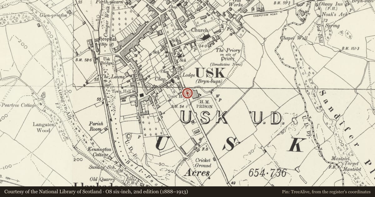
Slide toward Today to fade the historical sheet and see the modern map underneath.
David Rumsey Map Collection, Stanford LibrariesDavid Rumsey Map Collection, Stanford LibrariesDavid Rumsey Map Collection, Stanford LibrariesDavid Rumsey Map Collection, Stanford LibrariesDavid Rumsey Map Collection, Stanford Libraries
5 historical maps cover this location, the earliest the 1636 map "Cornubia : Devonia, Somersetus, Dorcestria, Wiltonia, Glocestria ..." (David Rumsey Map Collection, Stanford Libraries).
Historical maps covering this location
- 1636 · Cornubia : Devonia, Somersetus, Dorcestria, Wiltonia, Glocestria ... (David Rumsey Map Collection, Stanford Libraries)
- 1830 · V.3:11-15:XV.Britisches Reich. A. Kon: England. a. England ab sich: Shire:15-17, 33 (David Rumsey Map Collection, Stanford Libraries)
- 1895 · Sheet 11. Ordnance Survey of England and Wales. (David Rumsey Map Collection, Stanford Libraries)
- 1905 · 250 Chepstow (Hills) (David Rumsey Map Collection, Stanford Libraries)
- 1913 · Sheet 102. Newport. (David Rumsey Map Collection, Stanford Libraries)
Cadw's description
Location
Fronting the Court House premises, separating the grounds from the pavement.
History
Contemporary with the Court House 1877.
Exterior
A range of rather heavyweight cast-iron railings with broad finials, more elaborate to the broader stanchions; 3 rails with nailhead mouldings; uprights with intermediate mouldings; wide double gates at each side giving access to the curved drive.
Reason for designation
Listed as railings, part of the original design and contemporary with the main structure; Group Value with the building.
Nearby in the register
- Telephone Call-box adjoining No.72 Maryport StreetCommunicationsunder 1 mi
- The Sessions House including balustraded terrace.Civilunder 1 mi
- New Court HotelCommercialunder 1 mi
- 60 Maryport StreetDomesticunder 1 mi
Other entries of the same register within about three miles of this one, by straight line.