Cof Cymru: National Historic Assets of Wales · Wales
Barn range at Penuwch Fawr
Trawsgoed, Ceredigion, Wales
A Grade II listed building in Penuwch, Aberystwyth, Trawsgoed, Ceredigion, designated on 31 March 2004.
The record
- Designation
- Listed building, Grade II
- Broad class
- Agriculture and Subsistence
- Date of designation
- 31 March 2004
- Locality
- Penuwch
- Town
- Aberystwyth
- Community
- Trawsgoed
- Unitary authority
- Ceredigion
- Country
- Wales
- Coordinates
- 52.37923, -3.97911
- Cadw reference
- 82647
Slide toward Today to fade the historical sheet and see the modern map underneath.
David Rumsey Map Collection, Stanford LibrariesDavid Rumsey Map Collection, Stanford LibrariesDavid Rumsey Map Collection, Stanford LibrariesDavid Rumsey Map Collection, Stanford LibrariesDavid Rumsey Map Collection, Stanford Libraries
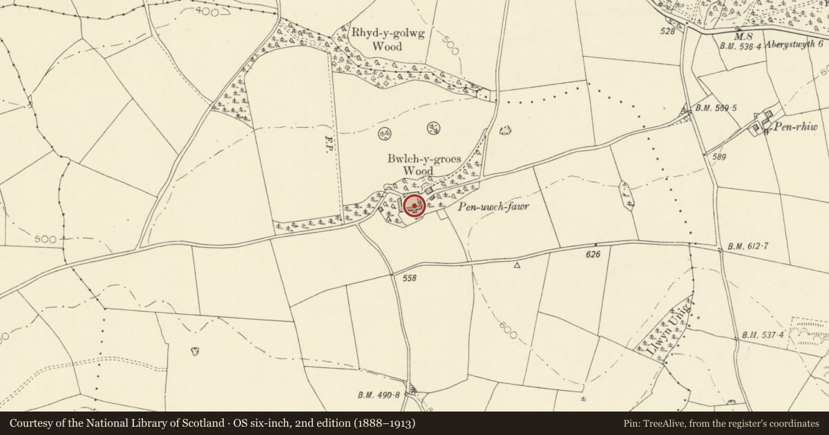
5 historical maps cover this location, the earliest the 1830 map "V.3:11-15:XV. Britisches Reich. A. Kon: England. b. Frstenthum Wales: Shire: 37-40" (David Rumsey Map Collection, Stanford Libraries).
Historical maps covering this location
- 1830 · V.3:11-15:XV. Britisches Reich. A. Kon: England. b. Frstenthum Wales: Shire: 37-40 (David Rumsey Map Collection, Stanford Libraries)
- 1883 · Watershed map England, Wales 3. (David Rumsey Map Collection, Stanford Libraries)
- 1896 · Sheet 7. Ordnance Survey of England and Wales. (David Rumsey Map Collection, Stanford Libraries)
- 1899 · 178 Llanilar (Hills) (David Rumsey Map Collection, Stanford Libraries)
- 1901 · Sheet 14. (David Rumsey Map Collection, Stanford Libraries)
Cadw's description
Location
Situated on S side of farm court at Penuwch Fawr.
History
Large farmyard range comprising barn to right and lofted stables and cart-sheds to left, possibly the range marked on 1847 Tithe map.
Exterior
Long rubble stone outbuilding range comprising lofted cart-shed and stable to left and barn to right, under single slate close-eaved roof. Two elliptical-arched low cart-entries to left of double stable with 2 doors between 2 windows, all with stone voussoirs, and 3 wooden 2-light loft lights above under eaves. Barn has large centre door, to about 2/3 height with stone voussoirs to cambered head. Vent loop divided in 2 to right of barn door.
Interior
Not inspected at time of survey.
Reason for designation
Included as a farmyard range of unusual scale, little altered, part of a group at Penuwch Fawr.
Nearby in the register
- Open-bay outbuilding at Penuwch FawrNo class recordedunder 1 mi
- Penuwch FawrDomesticunder 1 mi
- Milestone NW of PantycrugTransportunder 1 mi
- Capel Cynnon including vestry to rightReligious, Ritual and Funeraryunder 1 mi
Other entries of the same register within about three miles of this one, by straight line.