Cof Cymru: National Historic Assets of Wales · Wales
Monument to Amelia Earhart
Pembrey and Burry Port Town, Carmarthenshire, Wales
A Grade II listed building in Burry Port, Pembrey and Burry Port Town, Carmarthenshire, designated on 25 November 2003.
The record
- Designation
- Listed building, Grade II
- Broad class
- No class recorded
- Date of designation
- 25 November 2003
- Locality
- Burry Port
- Community
- Pembrey and Burry Port Town
- Unitary authority
- Carmarthenshire
- Country
- Wales
- Coordinates
- 51.68544, -4.24905
- Cadw reference
- 82071
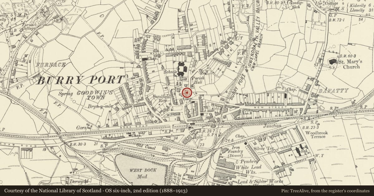
Slide toward Today to fade the historical sheet and see the modern map underneath.
David Rumsey Map Collection, Stanford LibrariesDavid Rumsey Map Collection, Stanford LibrariesDavid Rumsey Map Collection, Stanford LibrariesDavid Rumsey Map Collection, Stanford LibrariesDavid Rumsey Map Collection, Stanford Libraries
5 historical maps cover this location, the earliest the 1636 map "Cornubia : Devonia, Somersetus, Dorcestria, Wiltonia, Glocestria ..." (David Rumsey Map Collection, Stanford Libraries).
Historical maps covering this location
- 1636 · Cornubia : Devonia, Somersetus, Dorcestria, Wiltonia, Glocestria ... (David Rumsey Map Collection, Stanford Libraries)
- 1637 · The fourth table of England. Cornub. Devonia, Somerset etc. (David Rumsey Map Collection, Stanford Libraries)
- 1891 · Sheet 10. Ordnance Survey of England and Wales. . (David Rumsey Map Collection, Stanford Libraries)
- 1907 · 246 Worms Head (Hills) (David Rumsey Map Collection, Stanford Libraries)
- 1920 · Sheet 100. Llanelly. (David Rumsey Map Collection, Stanford Libraries)
Cadw's description
Location
Facing Memorial Square and set back from the road in a small fenced enclosure.
History
Erected to commemorate the American aviatrix Amelia Earhart (1889-1937), the first woman to fly across the Atlantic. The flight took place in a seaplane named 'Friendship' on 18 June 1928, accompanied by Wilmur Stultz and Louis Gordon, leaving from Trepassey in Newfoundland and landing at Burry Port. The journey took 20 hours and 49 minutes.
Exterior
An obelisk memorial on a square base and stepped plinth, of reconstituted stone. The base has, in each corner, corbelled basins below lion fountain heads. Facing the road is a polished stone inscription tablet giving details of the flight. The obelisk has a relief frieze at the bottom and below the top, while the front face has a laurel wreath, The obelisk is crowned by a metal weathervane.
Reason for designation
Listed as a well-detailed monument of special historical interest for its association with a landmark in aviation history.
Nearby in the register
- Church of St MaryNo class recordedunder 1 mi
- Iron Tub Boats at Burry Port HarbourBoatunder 1 mi
- Plas KenrhosNo class recordedunder 1 mi
- Harbour walls, breakwater and locks at Burry PortMaritimeunder 1 mi
Other entries of the same register within about three miles of this one, by straight line.