Cof Cymru: National Historic Assets of Wales · Wales
The Toll House
Graig, Newport, Wales
A Grade II listed building in Lower Machen, Newport, Graig, designated on 22 August 2003.
The record
- Designation
- Listed building, Grade II
- Broad class
- No class recorded
- Date of designation
- 22 August 2003
- Locality
- Lower Machen
- Town
- Newport
- Community
- Graig
- Unitary authority
- Newport
- Country
- Wales
- Coordinates
- 51.58520, -3.11856
- Cadw reference
- 81805
Slide toward Today to fade the historical sheet and see the modern map underneath.
David Rumsey Map Collection, Stanford LibrariesDavid Rumsey Map Collection, Stanford LibrariesDavid Rumsey Map Collection, Stanford LibrariesDavid Rumsey Map Collection, Stanford LibrariesDavid Rumsey Map Collection, Stanford Libraries
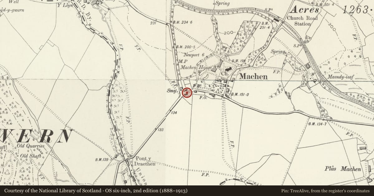
5 historical maps cover this location, the earliest the 1636 map "Cornubia : Devonia, Somersetus, Dorcestria, Wiltonia, Glocestria ..." (David Rumsey Map Collection, Stanford Libraries).
Historical maps covering this location
- 1636 · Cornubia : Devonia, Somersetus, Dorcestria, Wiltonia, Glocestria ... (David Rumsey Map Collection, Stanford Libraries)
- 1865 · England and Wales. England No. 6. (David Rumsey Map Collection, Stanford Libraries)
- 1895 · Sheet 11. Ordnance Survey of England and Wales. (David Rumsey Map Collection, Stanford Libraries)
- 1906 · 249 Newport (Hills) (David Rumsey Map Collection, Stanford Libraries)
- 1913 · Sheet 102. Newport. (David Rumsey Map Collection, Stanford Libraries)
Cadw's description
Location
On the W side of Lower Machen and on the S side of the main road through the village.
History
Former toll-house, early C19, in garden of Toll House Cottage.
Exterior
Toll-house, whitewashed rubble stone with hipped roof . C20 concrete tiles and eaves boards to deep flat eaves, no chimneys. Front has board door to left in recess with segmental-pointed head. Two pointed windows to centre left and centre right each with casement pair and fixed tracery in head. C20 shutters. Left end has C20 window in infilled garage entry. Right end has C20 addition, rear has one window to left.
Interior
Not inspected.
Reason for designation
Included as rare surviving earlier C19 toll-house.
Nearby in the register
- Volland House, The Forge, No 3 and Volland CottageNo class recordedunder 1 mi
- Garden walls to S, W and N of NantygarthNo class recordedunder 1 mi
- Gatepiers, gate and garden walls to Machen HouseNo class recordedunder 1 mi
- Footbridge over lake at Machen HouseTransportunder 1 mi
Other entries of the same register within about three miles of this one, by straight line.