Cof Cymru: National Historic Assets of Wales · Wales
Churchyard gates and piers to the Church of St Michael
Graig, Newport, Wales
A Grade II listed building in Lower Machen, Newport, Graig, designated on 22 August 2003.
The record
- Designation
- Listed building, Grade II
- Broad class
- No class recorded
- Date of designation
- 22 August 2003
- Locality
- Lower Machen
- Town
- Newport
- Community
- Graig
- Unitary authority
- Newport
- Country
- Wales
- Coordinates
- 51.58591, -3.11572
- Cadw reference
- 81793
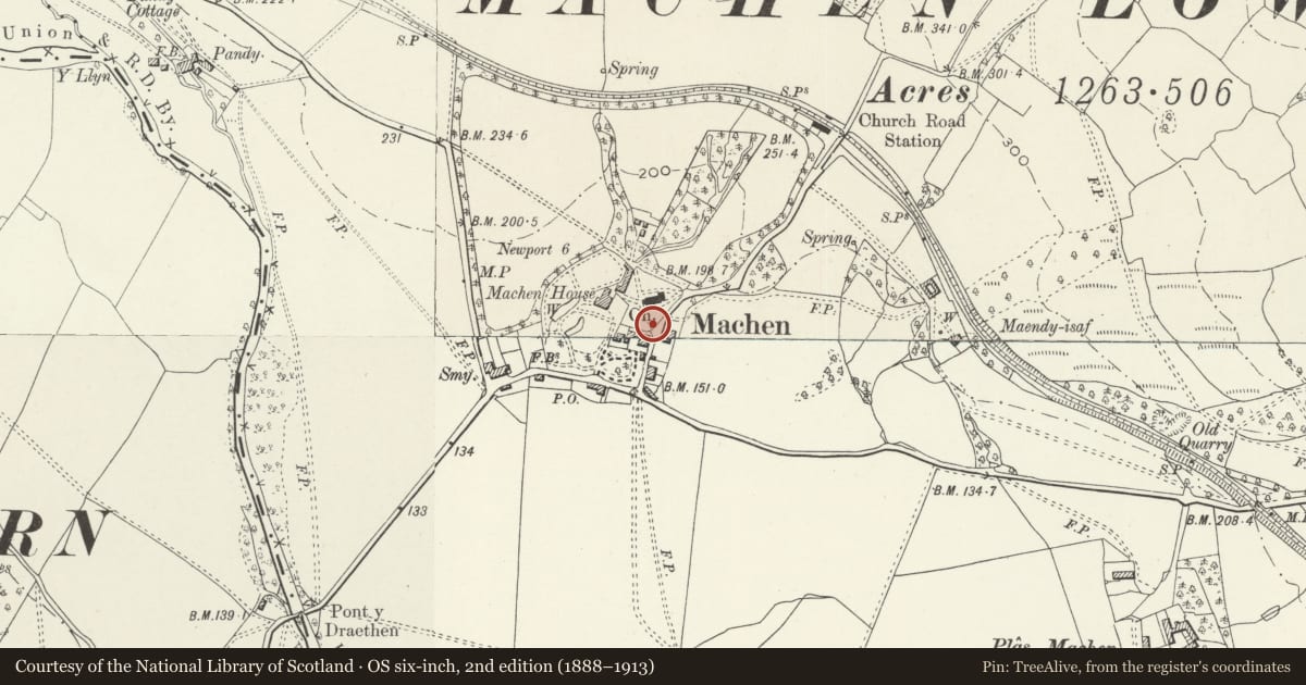
Slide toward Today to fade the historical sheet and see the modern map underneath.
David Rumsey Map Collection, Stanford LibrariesDavid Rumsey Map Collection, Stanford LibrariesDavid Rumsey Map Collection, Stanford LibrariesDavid Rumsey Map Collection, Stanford LibrariesDavid Rumsey Map Collection, Stanford Libraries
5 historical maps cover this location, the earliest the 1636 map "Cornubia : Devonia, Somersetus, Dorcestria, Wiltonia, Glocestria ..." (David Rumsey Map Collection, Stanford Libraries).
Historical maps covering this location
- 1636 · Cornubia : Devonia, Somersetus, Dorcestria, Wiltonia, Glocestria ... (David Rumsey Map Collection, Stanford Libraries)
- 1865 · England and Wales. England No. 6. (David Rumsey Map Collection, Stanford Libraries)
- 1895 · Sheet 11. Ordnance Survey of England and Wales. (David Rumsey Map Collection, Stanford Libraries)
- 1906 · 249 Newport (Hills) (David Rumsey Map Collection, Stanford Libraries)
- 1913 · Sheet 102. Newport. (David Rumsey Map Collection, Stanford Libraries)
Cadw's description
Location
On the S side of the churchyard of the Church of Saint Michael.
History
Pair of mid to later C19 cast-iron churchyard gates between stone Gothic piers, the gates presumably Newport-made.
Exterior
Churchyard gates with 2 sandstone piers, and twin cast-iron gates. Piers have light tooling, chamfered plinth, chamfered and stopped angles, Bath stone caps not projecting carrying large cross-gabled tops with quatrefoils in gables. Twin cast-iron gates of unusual elaboration, with several horizontal rails, double to top, treble to lock-rail, single across middle of lower part and double to bottom. Top part has alternate small and large spearhead finials and lower part has an openwork pattern mirrored above and below the single rail.
Reason for designation
Included as a good pair of C19 cast-iron gates, of group value with the church.
Nearby in the register
- Railings and gate to Parkfield HouseNo class recordedunder 1 mi
- Trough and surround in wall to The CourtNo class recordedunder 1 mi
- Churchyard cross at the Church of St MichaelNo class recordedunder 1 mi
- St. Michael's Churchyard Cross, MachenCrossunder 1 mi
Other entries of the same register within about three miles of this one, by straight line.