Cof Cymru: National Historic Assets of Wales · Wales
Cowshed at Pantruthin-fach Farm
Llangan, Vale of Glamorgan, Wales
A Grade II listed building in Ruthin, Cowbridge / Y Bont-Faen, Llangan, Vale of Glamorgan, designated on 22 July 2003.
The record
- Designation
- Listed building, Grade II
- Broad class
- Agriculture and Subsistence
- Date of designation
- 22 July 2003
- Locality
- Ruthin
- Town
- Cowbridge / Y Bont-Faen
- Community
- Llangan
- Unitary authority
- Vale of Glamorgan
- Country
- Wales
- Coordinates
- 51.51170, -3.49557
- Cadw reference
- 81316
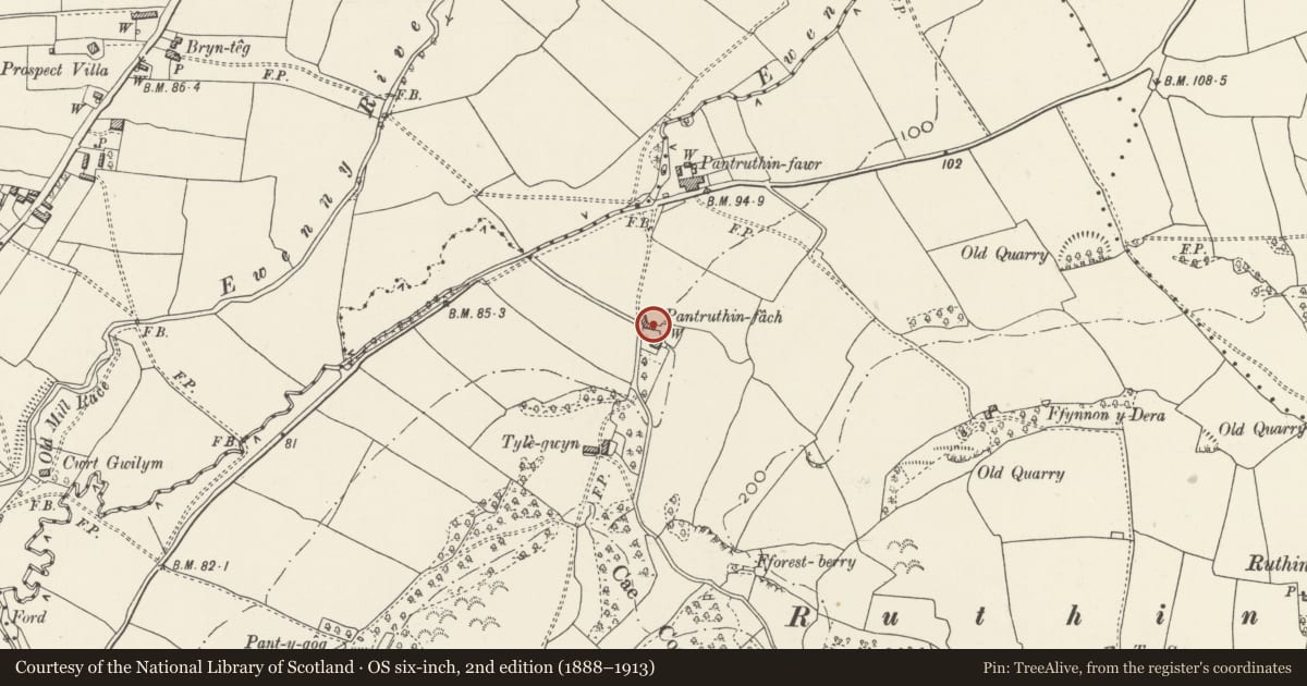
Slide toward Today to fade the historical sheet and see the modern map underneath.
David Rumsey Map Collection, Stanford LibrariesDavid Rumsey Map Collection, Stanford LibrariesDavid Rumsey Map Collection, Stanford LibrariesDavid Rumsey Map Collection, Stanford LibrariesDavid Rumsey Map Collection, Stanford Libraries
5 historical maps cover this location, the earliest the 1636 map "Cornubia : Devonia, Somersetus, Dorcestria, Wiltonia, Glocestria ..." (David Rumsey Map Collection, Stanford Libraries).
Historical maps covering this location
- 1636 · Cornubia : Devonia, Somersetus, Dorcestria, Wiltonia, Glocestria ... (David Rumsey Map Collection, Stanford Libraries)
- 1637 · The fourth table of England. Cornub. Devonia, Somerset etc. (David Rumsey Map Collection, Stanford Libraries)
- 1865 · England and Wales. England No. 6. (David Rumsey Map Collection, Stanford Libraries)
- 1897 · 262 Pontypridd (Hills) (David Rumsey Map Collection, Stanford Libraries)
- 1897 · 262 Pontypridd (Outline) (David Rumsey Map Collection, Stanford Libraries)
Cadw's description
Location
Immediately north of the farmhouse across the yard.
History
Fairly closely contemporary with the farmhouse, but that is shown on the 1846 Tithe map whereas this building is not. This is an externally unaltered agricultural building from the mid C19 which has group value with the closely adjacent farmhouse.
Exterior
Built of roughly coursed local limestone rubble with dressed quoins and voussoirs and a Welsh slate roof. Long low two storey range with five doors irregularly arranged to the ground floor, as well as a small square vent at the left-hand end, and two taking-in doors to the haylofts above. Taking-in door also in the roadside gable. Rear elevation not seen.
Interior
Not available for inspection at resurvey, but it is evidently a multi-purpose building probably with cowshed, stable and haylofts.
Reason for designation
Included as an unaltered mid C19 argricultural building of regional character with strong group value.
Nearby in the register
- Pantruthin-fach FarmhouseDomesticunder 1 mi
- Milestone, Coychurch RoadTransportunder 1 mi
- Church of St MaryReligious, Ritual and Funeraryunder 1 mi
- Salem ChapelReligious, Ritual and Funeraryunder 1 mi
Other entries of the same register within about three miles of this one, by straight line.