Cof Cymru: National Historic Assets of Wales · Wales
Rock Arch at Insole Court
Llandaff, Cardiff, Wales
A Grade II listed building in Llandaff, Cardiff, designated on 30 June 2003.
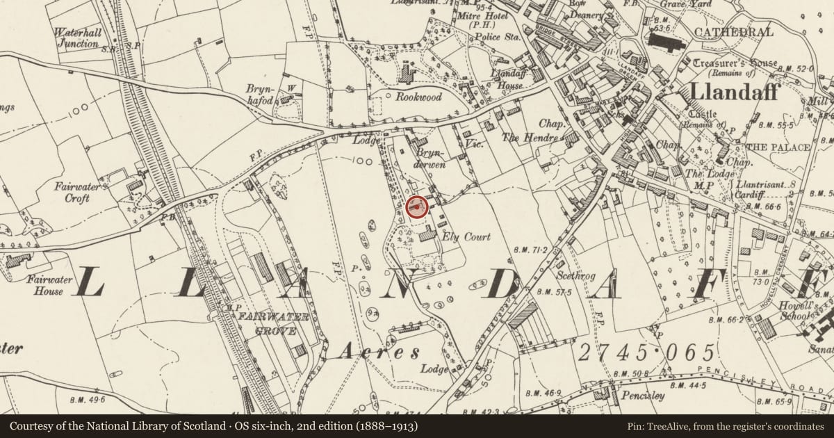
The record
- Designation
- Listed building, Grade II
- Broad class
- Domestic
- Date of designation
- 30 June 2003
- Locality
- Llandaff
- Town
- Cardiff
- Community
- Llandaff
- Unitary authority
- Cardiff
- Country
- Wales
- Coordinates
- 51.49252, -3.22553
- Cadw reference
- 81277
Slide toward Today to fade the historical sheet and see the modern map underneath.
David Rumsey Map Collection, Stanford LibrariesDavid Rumsey Map Collection, Stanford LibrariesDavid Rumsey Map Collection, Stanford LibrariesDavid Rumsey Map Collection, Stanford LibrariesDavid Rumsey Map Collection, Stanford Libraries
5 historical maps cover this location, the earliest the 1636 map "Cornubia : Devonia, Somersetus, Dorcestria, Wiltonia, Glocestria ..." (David Rumsey Map Collection, Stanford Libraries).
Historical maps covering this location
- 1636 · Cornubia : Devonia, Somersetus, Dorcestria, Wiltonia, Glocestria ... (David Rumsey Map Collection, Stanford Libraries)
- 1637 · The fourth table of England. Cornub. Devonia, Somerset etc. (David Rumsey Map Collection, Stanford Libraries)
- 1865 · England and Wales. England No. 6. (David Rumsey Map Collection, Stanford Libraries)
- 1898 · 263 Cardiff (Hills) (David Rumsey Map Collection, Stanford Libraries)
- 1913 · Sheet 110. Cardiff & Mouth of the Severn. (David Rumsey Map Collection, Stanford Libraries)
Cadw's description
Location
Just south of the Stable Block and part of the important group of estate buildings surrounding Insole Court.
History
This feature was described in the Gardener's Chronicle in 1882 when it must have been fairly recently constructed.
Exterior
Romantic Victorian garden feature formed of natural sandstone rocks piled artfully to create a dark archway and give a dramatic appearance in the garden.
Reason for designation
Included for group value as part of the garden and estate buildings of a significant Victorian mansion with a chequered history.
Nearby in the register
- Wall on rear drive at Insole CourtDomesticunder 1 mi
- Stable Block of Insole CourtDomesticunder 1 mi
- Gatepiers and Wing Walls on main Carriage Drive at Insole CourtNo class recordedunder 1 mi
- Insole CourtInstitutionalunder 1 mi
Other entries of the same register within about three miles of this one, by straight line.