Cof Cymru: National Historic Assets of Wales · Wales
SE Ventilation Shaft to Morlais Tunnel
Pant, Merthyr Tydfil, Wales
A Grade II listed building in Pant, Merthyr Tydfil, designated on 11 March 2003.
The record
- Designation
- Listed building, Grade II
- Broad class
- Transport
- Date of designation
- 11 March 2003
- Locality
- Pant
- Community
- Pant
- Unitary authority
- Merthyr Tydfil
- Country
- Wales
- Coordinates
- 51.77487, -3.36143
- Cadw reference
- 80962
Slide toward Today to fade the historical sheet and see the modern map underneath.
David Rumsey Map Collection, Stanford LibrariesDavid Rumsey Map Collection, Stanford LibrariesDavid Rumsey Map Collection, Stanford LibrariesDavid Rumsey Map Collection, Stanford LibrariesDavid Rumsey Map Collection, Stanford Libraries
5 historical maps cover this location, the earliest the 1636 map "Cornubia : Devonia, Somersetus, Dorcestria, Wiltonia, Glocestria ..." (David Rumsey Map Collection, Stanford Libraries).
Historical maps covering this location
- 1636 · Cornubia : Devonia, Somersetus, Dorcestria, Wiltonia, Glocestria ... (David Rumsey Map Collection, Stanford Libraries)
- 1830 · V.3:11-15:XV. Britisches Reich. A. Kon: England. b. Frstenthum Wales: Shire: 37-40 (David Rumsey Map Collection, Stanford Libraries)
- 1856 · 42. Brecon. (David Rumsey Map Collection, Stanford Libraries)
- 1895 · Sheet 11. Ordnance Survey of England and Wales. (David Rumsey Map Collection, Stanford Libraries)
- 1898 · 231 Merthyr Tydfil (Hills) (David Rumsey Map Collection, Stanford Libraries)
Cadw's description
Location
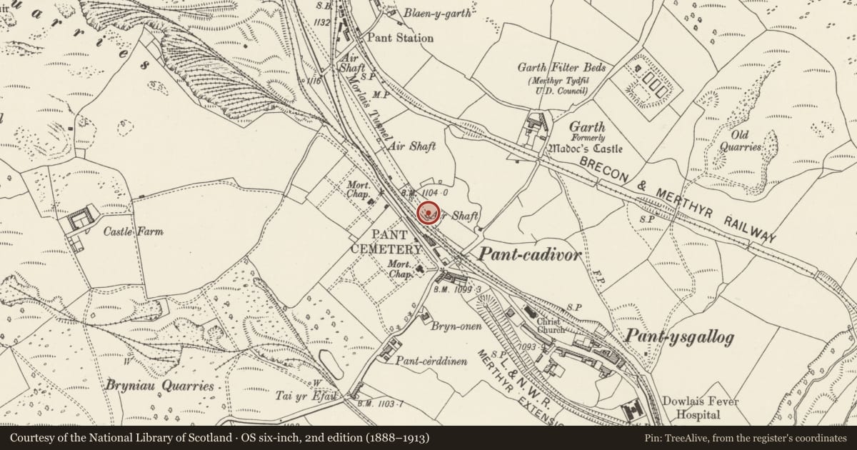
Situated in a field some 50m N of Pant-Cad-Ivor Inn.
History
Later C19 large ventilation shaft, one of 3 to Morlais or Miler tunnel of 1879 on the London and North Western Railway. This railway, one of several in the Merthyr area, came from Abergavenny went through the tunnel to Pontsarn, Cefn Coed and eventually to Merthyr using the joint line with the Brecon and Merthyr Railway.
Exterior
Ventilation shaft to railway tunnel, circular, red brick with battered sides and raised brick square labels under brick top band, itself under sandstone coping carrying shallow-domed iron protective grille. Bricks are laid in alternate courses of headers and stretchers.
Reason for designation
Included as one of an exceptional group of distinctive railway structures from the industrial history of the area.
Nearby in the register
- Centre ventilation shaft to Morlais TunnelTransportunder 1 mi
- BlaenygarthDomesticunder 1 mi
- The War Memorial, screen walls and surrounding railingsCommemorativeunder 1 mi
- Morlais Hill ring cairnRing Cairnunder 1 mi
Other entries of the same register within about three miles of this one, by straight line.