Cof Cymru: National Historic Assets of Wales · Wales
Farm Outbuilding at Cae'n-y-coed
Banwy, Powys, Wales
A Grade II listed building in Cae'n-y-coed, Banwy, Powys, designated on 31 December 2002.
The record
- Designation
- Listed building, Grade II
- Broad class
- No class recorded
- Date of designation
- 31 December 2002
- Locality
- Cae'n-y-coed
- Community
- Banwy
- Unitary authority
- Powys
- Country
- Wales
- Coordinates
- 52.68521, -3.48528
- Cadw reference
- 80785
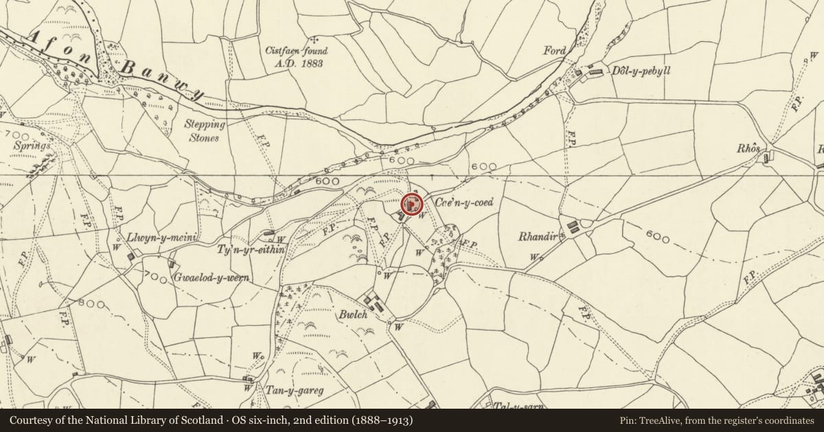
Slide toward Today to fade the historical sheet and see the modern map underneath.
David Rumsey Map Collection, Stanford LibrariesDavid Rumsey Map Collection, Stanford LibrariesLlyfrgell Genedlaethol Cymru – The National Library of WalesDavid Rumsey Map Collection, Stanford LibrariesDavid Rumsey Map Collection, Stanford Libraries
5 historical maps cover this location, the earliest the 1608 map "(13) Cambriae Typus." (David Rumsey Map Collection, Stanford Libraries).
Historical maps covering this location
- 1608 · (13) Cambriae Typus. (David Rumsey Map Collection, Stanford Libraries)
- 1795 · To Sir Watkin Williams-Wynn Bart ... the map of the six counties of North Wales is most… (Llyfrgell Genedlaethol Cymru – The National Library of Wales)
- 1883 · Watershed map England, Wales 3. (David Rumsey Map Collection, Stanford Libraries)
- 1899 · 150 Dinas-Mawddwy (Hills) (David Rumsey Map Collection, Stanford Libraries)
- 1901 · Sheet 9 and 10. (David Rumsey Map Collection, Stanford Libraries)
Cadw's description
Location
At other side of the farm lane to Cae'n-y-coed farmhouse.
History
A possibly C18 farm building incorporating stable, cowhouse and storage lofts, forming a group with
Cae''n-y-coed.
Exterior
An outbuilding in axe-dressed local gritstone with slate roof and tile ridge. It is ranged parallel to the
slope with a single storey elevation to the west side and a two-storey elevation to the east and north.
There is a small extension at the east side under a continuation of the main roof. The lower part is a
cowhouse with storage and hayloft above. The range formerly continued further to the south but that part
has collapsed.
On the west side there is a frameless window opening and a heck door to left and a wide boarded shed door adjacent to a window to right. In the north gable end there is a window above a door. In the east side there is a cowhouse door to right and a wide opening to left. The bay to left is ruinous.
Reason for designation
A stone and slate vernacular detached multi-purpose outbuilding forming a small intact farmstead with
the house and its attached outbuildings.
Nearby in the register
- Cae'n-y-coedNo class recordedunder 1 mi
- Lletypiod and TynewyddNo class recordedunder 1 mi
- Gogerddan CampHillfortunder 1 mi
- Pont-y-clochyddNo class recordedunder 1 mi
Other entries of the same register within about three miles of this one, by straight line.