Cof Cymru: National Historic Assets of Wales · Wales
Vyrnwy House (including the front garden railings)
Meifod, Powys, Wales
A Grade II listed building in Meifod Village, Meifod, Powys, designated on 31 January 1953.
The record
- Designation
- Listed building, Grade II
- Broad class
- Domestic
- Date of designation
- 31 January 1953
- Locality
- Meifod Village
- Community
- Meifod
- Unitary authority
- Powys
- Country
- Wales
- Coordinates
- 52.71026, -3.25368
- Cadw reference
- 7648
Slide toward Today to fade the historical sheet and see the modern map underneath.
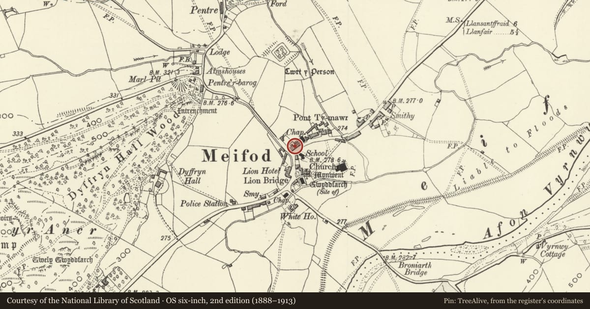
David Rumsey Map Collection, Stanford LibrariesDavid Rumsey Map Collection, Stanford LibrariesDavid Rumsey Map Collection, Stanford LibrariesLlyfrgell Genedlaethol Cymru – The National Library of WalesDavid Rumsey Map Collection, Stanford Libraries
5 historical maps cover this location, the earliest the 1795 map "To Sir Watkin Williams-Wynn Bart ... the map of the six counties of North Wales is most humbly inscribed by his obedient humble servant" (Llyfrgell Genedlaethol Cymru – The National Library of Wales).
Historical maps covering this location
- 1795 · To Sir Watkin Williams-Wynn Bart ... the map of the six counties of North Wales is most… (Llyfrgell Genedlaethol Cymru – The National Library of Wales)
- 1883 · Watershed map England, Wales 3. (David Rumsey Map Collection, Stanford Libraries)
- 1899 · 151 Welshpool (Hills) (David Rumsey Map Collection, Stanford Libraries)
- 1901 · Sheet 9 and 10. (David Rumsey Map Collection, Stanford Libraries)
- 1916 · Sheet 60. Shrewsbury. (David Rumsey Map Collection, Stanford Libraries)
Cadw's description
Location
Located opposite the churchyard near the corner of road to Meifod Pentre.
History
A substantial house of the early C19, once the home and shop of Maurice Morris, the chemist, a prominent local figure.
Exterior
Roughly coursed large stone rubble with a slate roof. Three storeys, 3 bays. Central stair hall and flanking reception rooms. Four-panelled half-glazed door within a fine Tuscan doorcase and flat pediment. Sixteen-paned sashes retaining original glass, in openings with slightly cambered heads. Gable stacks.
Narrow front garden with fleur-de-lys-headed railings set on a dwarf stone wall, returned at the ends.
Interior
Not accessible at the time of inspection.
Reason for designation
Included as a key building of the continuous build opposite the churchyard, of group value and within the conservation area.
Nearby in the register
- Fountain at the fornt of Aldwyn HouseGardens, Parks and Urban Spacesunder 1 mi
- House adjoining The Old Post Office at the N EndDomesticunder 1 mi
- The Old Post OfficeDomesticunder 1 mi
- Ger-y-Nant (Brook House)Domesticunder 1 mi
Other entries of the same register within about three miles of this one, by straight line.