Cof Cymru: National Historic Assets of Wales · Wales
Fountain at the fornt of Aldwyn House
Meifod, Powys, Wales
A Grade II listed building in Meifod village, Meifod, Powys, designated on 26 May 1995.
The record
- Designation
- Listed building, Grade II
- Broad class
- Gardens, Parks and Urban Spaces
- Date of designation
- 26 May 1995
- Locality
- Meifod village
- Community
- Meifod
- Unitary authority
- Powys
- Country
- Wales
- Coordinates
- 52.71031, -3.25342
- Cadw reference
- 15951
Slide toward Today to fade the historical sheet and see the modern map underneath.
David Rumsey Map Collection, Stanford LibrariesDavid Rumsey Map Collection, Stanford LibrariesDavid Rumsey Map Collection, Stanford LibrariesLlyfrgell Genedlaethol Cymru – The National Library of WalesDavid Rumsey Map Collection, Stanford Libraries
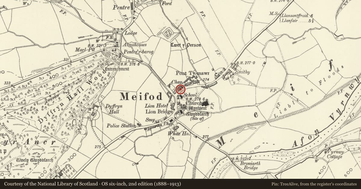
5 historical maps cover this location, the earliest the 1795 map "To Sir Watkin Williams-Wynn Bart ... the map of the six counties of North Wales is most humbly inscribed by his obedient humble servant" (Llyfrgell Genedlaethol Cymru – The National Library of Wales).
Historical maps covering this location
- 1795 · To Sir Watkin Williams-Wynn Bart ... the map of the six counties of North Wales is most… (Llyfrgell Genedlaethol Cymru – The National Library of Wales)
- 1883 · Watershed map England, Wales 3. (David Rumsey Map Collection, Stanford Libraries)
- 1899 · 151 Welshpool (Hills) (David Rumsey Map Collection, Stanford Libraries)
- 1901 · Sheet 9 and 10. (David Rumsey Map Collection, Stanford Libraries)
- 1916 · Sheet 60. Shrewsbury. (David Rumsey Map Collection, Stanford Libraries)
Cadw's description
Location
Located on the pavement in front of Aldwyn House, next door to Vyrnwy House.
Exterior
Public water point. C19. A tapered fluted short column with domical cap and a fluted knob. Turn cock on right, and perforated footplate.
Reason for designation
Included as the last survivor of a public water distribution system in Meifod, similar to that at Guilsfield.
Nearby in the register
- Vyrnwy House (including the front garden railings)Domesticunder 1 mi
- House adjoining The Old Post Office at the N EndDomesticunder 1 mi
- The Old Post OfficeDomesticunder 1 mi
- Ger-y-Nant (Brook House)Domesticunder 1 mi
Other entries of the same register within about three miles of this one, by straight line.