Cof Cymru: National Historic Assets of Wales · Wales
Vaynor House
Builth, Powys, Wales
A Grade II listed building in Builth, Powys, designated on 16 September 1991.
The record
- Designation
- Listed building, Grade II
- Broad class
- Domestic
- Date of designation
- 16 September 1991
- Community
- Builth
- Unitary authority
- Powys
- Country
- Wales
- Coordinates
- 52.14851, -3.40541
- Cadw reference
- 7452
Slide toward Today to fade the historical sheet and see the modern map underneath.
David Rumsey Map Collection, Stanford LibrariesDavid Rumsey Map Collection, Stanford LibrariesDavid Rumsey Map Collection, Stanford LibrariesDavid Rumsey Map Collection, Stanford LibrariesDavid Rumsey Map Collection, Stanford Libraries
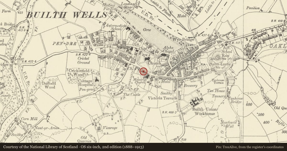
5 historical maps cover this location, the earliest the 1608 map "(13) Cambriae Typus." (David Rumsey Map Collection, Stanford Libraries).
Historical maps covering this location
- 1608 · (13) Cambriae Typus. (David Rumsey Map Collection, Stanford Libraries)
- 1637 · Particular description of Wales. Cambria seu Wallia (David Rumsey Map Collection, Stanford Libraries)
- 1883 · Watershed map England, Wales 3. (David Rumsey Map Collection, Stanford Libraries)
- 1899 · 196 Builth (Hills) (David Rumsey Map Collection, Stanford Libraries)
- 1901 · Sheet 14. (David Rumsey Map Collection, Stanford Libraries)
Cadw's description
Location
Set back from street behind railed foregarden.
Exterior
Earlier C19 house, three storey, two windows wide. Rubble masonry, painted at front and side. Low pitched slate roof with stone chimney to left (E). Second floor has 2 square horizontally-sliding sashes set under eaves. First floor has two 9 pane sashes. Ground floor has, to right, one 9 pane sash and to left, larger 16 pane sash lighting principal living room. Panelled front door. Ground floor and first floor openings all under cambered brick arches. Openings arranged symmetrically around door but offset to right to allow for deep fireplace.
External Chimney stack at gable end. At rear alterations to fenestration, but second floor has 2 almost square 12 pane fixed windows.
Reason for designation
Group Value with neighbouring listed buildings.
Nearby in the register
- Clifton HouseDomesticunder 1 mi
- OakfieldDomesticunder 1 mi
- HafodDomesticunder 1 mi
- The Old HallDomesticunder 1 mi
Other entries of the same register within about three miles of this one, by straight line.