Cof Cymru: National Historic Assets of Wales · Wales
Ebenezer United Reformed Church
Hay, Powys, Wales
A Grade II listed building in Hay, Powys, designated on 1 February 1988.
The record
- Designation
- Listed building, Grade II
- Broad class
- Religious, Ritual and Funerary
- Date of designation
- 1 February 1988
- Community
- Hay
- Unitary authority
- Powys
- Country
- Wales
- Coordinates
- 52.07640, -3.12501
- Cadw reference
- 7399
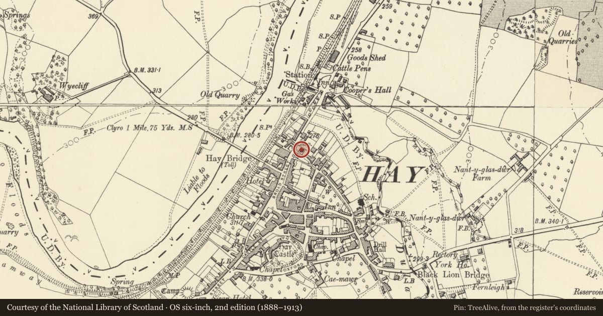
Slide toward Today to fade the historical sheet and see the modern map underneath.
David Rumsey Map Collection, Stanford LibrariesDavid Rumsey Map Collection, Stanford LibrariesDavid Rumsey Map Collection, Stanford LibrariesDavid Rumsey Map Collection, Stanford LibrariesDavid Rumsey Map Collection, Stanford Libraries
5 historical maps cover this location, the earliest the 1636 map "Cornubia : Devonia, Somersetus, Dorcestria, Wiltonia, Glocestria ..." (David Rumsey Map Collection, Stanford Libraries).
Historical maps covering this location
- 1636 · Cornubia : Devonia, Somersetus, Dorcestria, Wiltonia, Glocestria ... (David Rumsey Map Collection, Stanford Libraries)
- 1637 · Particular description of Wales. Cambria seu Wallia (David Rumsey Map Collection, Stanford Libraries)
- 1856 · 42. Brecon. (David Rumsey Map Collection, Stanford Libraries)
- 1898 · 197 Hay (Hills) (David Rumsey Map Collection, Stanford Libraries)
- 1901 · Sheet 14. (David Rumsey Map Collection, Stanford Libraries)
Cadw's description
Location
Set back and high above the road with small grassed and railed churchyard to front rubble embankment wall.
History
Built 1845 by Mr D Griffiths.
Exterior
Symmetrical classical 2-story, 3-window front; coursed rubble with plinth and pilaster strips dividing each bay. Hipped slate roof, wide boarded eaves and rubble chimney stack to left. Arched headed small pane sash windows with voussoirs. Eroded tablet to centre over arched entrance with panelled architrave and keystones; double 3-panel doors with 6-pane fanlight. Blocked basement openings. Rubble side elevations - chimney stack removed to right hand chimney breast. Twin basement windows to rear.
Interior
Square interior with gallery to front; Gothic timber pulpit.
Reason for designation
Group value with Poplar House.
Nearby in the register
- Poplar HouseDomesticunder 1 mi
- Rock HouseDomesticunder 1 mi
- BrynhyfrydDomesticunder 1 mi
- The Three Tuns P.H.Commercialunder 1 mi
Other entries of the same register within about three miles of this one, by straight line.