Cof Cymru: National Historic Assets of Wales · Wales
Tinto House
Hay, Powys, Wales
A Grade II listed building in Hay, Powys, designated on 24 October 1951.
The record
- Designation
- Listed building, Grade II
- Broad class
- Domestic
- Date of designation
- 24 October 1951
- Community
- Hay
- Unitary authority
- Powys
- Country
- Wales
- Coordinates
- 52.07505, -3.12646
- Cadw reference
- 7314
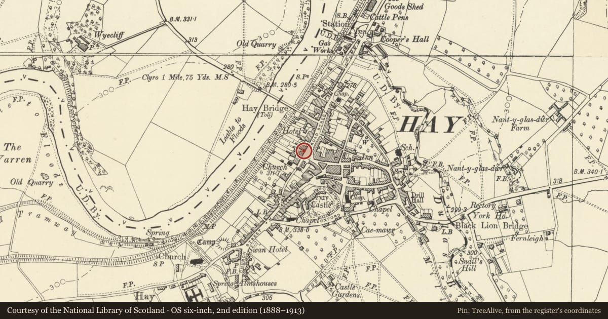
Slide toward Today to fade the historical sheet and see the modern map underneath.
David Rumsey Map Collection, Stanford LibrariesDavid Rumsey Map Collection, Stanford LibrariesDavid Rumsey Map Collection, Stanford LibrariesDavid Rumsey Map Collection, Stanford LibrariesDavid Rumsey Map Collection, Stanford Libraries
5 historical maps cover this location, the earliest the 1636 map "Cornubia : Devonia, Somersetus, Dorcestria, Wiltonia, Glocestria ..." (David Rumsey Map Collection, Stanford Libraries).
Historical maps covering this location
- 1636 · Cornubia : Devonia, Somersetus, Dorcestria, Wiltonia, Glocestria ... (David Rumsey Map Collection, Stanford Libraries)
- 1637 · Particular description of Wales. Cambria seu Wallia (David Rumsey Map Collection, Stanford Libraries)
- 1856 · 42. Brecon. (David Rumsey Map Collection, Stanford Libraries)
- 1898 · 197 Hay (Hills) (David Rumsey Map Collection, Stanford Libraries)
- 1901 · Sheet 14. (David Rumsey Map Collection, Stanford Libraries)
Cadw's description
Location
Set in the slope opposite the Clock Tower.
History
Early to mid C18 with later alterations.
Exterior
2-storey, 3 + 1-window scribed render front with plinth and central pedimented cross gable containing 8-pane circular attic window. Steep slate roof with stock brick end chimney stacks and dentil eaves. 4-pane to 1st floor with window box holders and blocked left hand window; tripartite to ground floor flanking open pedimented doorcase with dentil cornice and ornamented and fluted pilasters. Panelled reveals and 6-panel door below traceried fanlight. Boarded double doors under cambered arch to cross passage at left.
Interior
Interiors not seen.
Reason for designation
Group value with other listed items in Broad Street.
Nearby in the register
- 12 Broad StreetDomesticunder 1 mi
- Seven StarsDomesticunder 1 mi
- Clifton HouseDomesticunder 1 mi
- Clock TowerGardens, Parks and Urban Spacesunder 1 mi
Other entries of the same register within about three miles of this one, by straight line.