Cof Cymru: National Historic Assets of Wales · Wales
Brecon Presbyterian Church, including Hall to rear
Brecon, Powys, Wales
A Grade II listed building in Brecon, Powys, designated on 16 December 1976.
The record
- Designation
- Listed building, Grade II
- Broad class
- Religious, Ritual and Funerary
- Date of designation
- 16 December 1976
- Town
- Brecon
- Community
- Brecon
- Unitary authority
- Powys
- Country
- Wales
- Coordinates
- 51.94546, -3.38658
- Cadw reference
- 7104
Slide toward Today to fade the historical sheet and see the modern map underneath.
David Rumsey Map Collection, Stanford LibrariesDavid Rumsey Map Collection, Stanford LibrariesDavid Rumsey Map Collection, Stanford LibrariesDavid Rumsey Map Collection, Stanford LibrariesDavid Rumsey Map Collection, Stanford Libraries
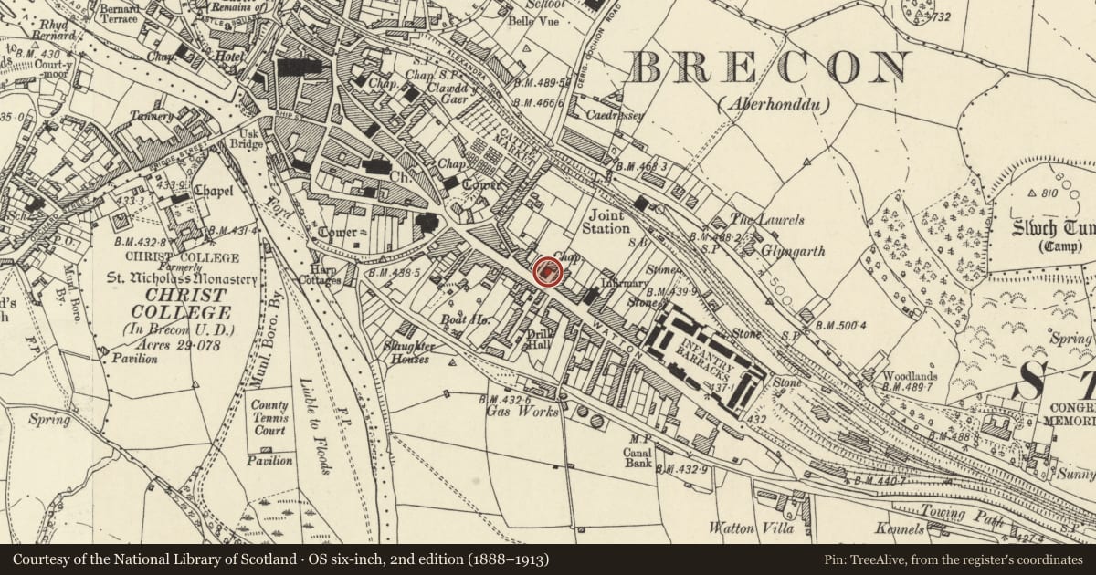
5 historical maps cover this location, the earliest the 1608 map "(13) Cambriae Typus." (David Rumsey Map Collection, Stanford Libraries).
Historical maps covering this location
- 1608 · (13) Cambriae Typus. (David Rumsey Map Collection, Stanford Libraries)
- 1636 · Cornubia : Devonia, Somersetus, Dorcestria, Wiltonia, Glocestria ... (David Rumsey Map Collection, Stanford Libraries)
- 1856 · 42. Brecon. (David Rumsey Map Collection, Stanford Libraries)
- 1898 · 213 Brecon (Hills) (David Rumsey Map Collection, Stanford Libraries)
- 1901 · Sheet 14. (David Rumsey Map Collection, Stanford Libraries)
Cadw's description
Location
Set back from road, opposite Conway Street.
History
Circa 1872; architect W F Poulton. Some repairs to steeple after strike by thunderbolt 13 August 1955.
Exterior
Gothic chapel with gable to street. Slate roof with alternating grey and purple bands. Snecked rock-faced grey stone with bathstone dressings; arch voussoirs in alternating colours. Asymmetrical front has, to R, tower with doorway at ground level and lancet windows in stage above; polygonal stair turret to R; tower rises as octagonal spire with gablets and weather vane. Large 4-light Decorated style window; Gothic doorway to L, asymmetrical buttresses and pinnacle to L. Right side elevation with 5 lancets and buttresses. To rear is crosswing of school or hall in same style. Single-storey; 2 Gothic windows and a doorway, separated by buttresses. Modern block at E end.
Reason for designation
Well-designed and well-preserved mid Victorian chapel. Group Value with adjacent listed buildings on both sides of the Watton.
Nearby in the register
- Forecourt Wall, Piers, Railings & Gates of Brecon Presbyterian ChurchReligious, Ritual and Funeraryunder 1 mi
- House, including Garden Wall & RailingsDomesticunder 1 mi
- Chwarae Teg PHNo class recordedunder 1 mi
- 49 The WattonDomesticunder 1 mi
Other entries of the same register within about three miles of this one, by straight line.