Cof Cymru: National Historic Assets of Wales · Wales
Blocks 21 and 23 (HQ Block and Rear Block)
Brecon, Powys, Wales
A Grade II listed building in Brecon, Powys, designated on 16 December 1976.
The record
- Designation
- Listed building, Grade II
- Broad class
- Defence
- Date of designation
- 16 December 1976
- Town
- Brecon
- Community
- Brecon
- Unitary authority
- Powys
- Country
- Wales
- Coordinates
- 51.94466, -3.38331
- Cadw reference
- 7096
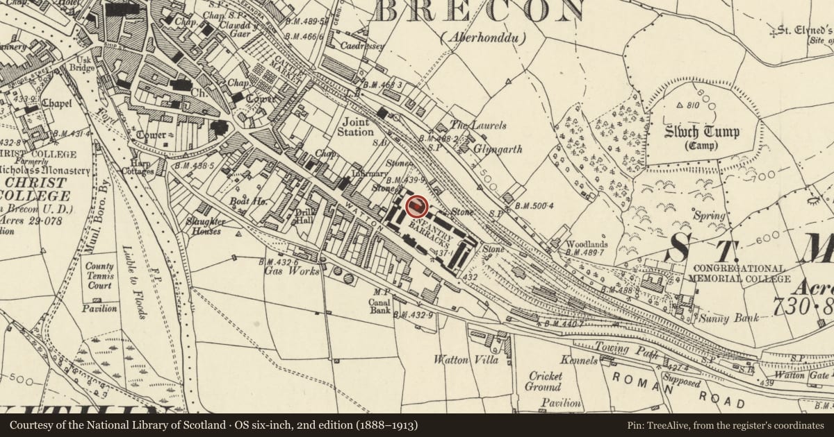
Slide toward Today to fade the historical sheet and see the modern map underneath.
David Rumsey Map Collection, Stanford LibrariesDavid Rumsey Map Collection, Stanford LibrariesDavid Rumsey Map Collection, Stanford LibrariesDavid Rumsey Map Collection, Stanford LibrariesDavid Rumsey Map Collection, Stanford Libraries
5 historical maps cover this location, the earliest the 1608 map "(13) Cambriae Typus." (David Rumsey Map Collection, Stanford Libraries).
Historical maps covering this location
- 1608 · (13) Cambriae Typus. (David Rumsey Map Collection, Stanford Libraries)
- 1636 · Cornubia : Devonia, Somersetus, Dorcestria, Wiltonia, Glocestria ... (David Rumsey Map Collection, Stanford Libraries)
- 1856 · 42. Brecon. (David Rumsey Map Collection, Stanford Libraries)
- 1898 · 213 Brecon (Hills) (David Rumsey Map Collection, Stanford Libraries)
- 1901 · Sheet 14. (David Rumsey Map Collection, Stanford Libraries)
Cadw's description
Location
Forms most of E side of the Parade Ground.
History
1842-4; former Cavalry Barracks, designed by Colonel Ord, Government Royal Engineer, but rear parallel block probably later.
Exterior
Former Cavalry Barracks in similar style to the other 1840s buildings. Long 2-storey range of seventeen 12-pane sash windows (and smaller later? windows); central square stone clock tower with weather vane; hipped slate roof; rectangular stone chimneys. Squared stone, pilasters flank doorways in 3rd, central and 15th bays, bands at eaves above first floor; plinth. To rear, connected by later corridor, a parallel lower 2-storey range. Stone, slate roof, stone chimneys. Squared rubble with ashlar dressings; bands at first floor sill level, and above ground floor windows. Some alterations to openings generally with 12-pane horned sash windows.
Reason for designation
Part of a fine and rare C19 Barracks complex, retaining its character. Group Value with other listed buildings on the site.
Nearby in the register
- Block 12 at BarracksDefenceunder 1 mi
- Museum at Brecon BarracksDefenceunder 1 mi
- Block 4 (RMP Office)Commercialunder 1 mi
- Blocks 14 and 15 (Sphinx House and Officers' Mess), including front garden wallsDefenceunder 1 mi
Other entries of the same register within about three miles of this one, by straight line.