Cof Cymru: National Historic Assets of Wales · Wales
Gateway in Wall opposite Havard House
Brecon, Powys, Wales
A Grade II listed building in Brecon, Powys, designated on 16 December 1976.
The record
- Designation
- Listed building, Grade II
- Broad class
- Domestic
- Date of designation
- 16 December 1976
- Town
- Brecon
- Community
- Brecon
- Unitary authority
- Powys
- Country
- Wales
- Coordinates
- 51.94662, -3.39123
- Cadw reference
- 6891
Slide toward Today to fade the historical sheet and see the modern map underneath.
David Rumsey Map Collection, Stanford LibrariesDavid Rumsey Map Collection, Stanford LibrariesDavid Rumsey Map Collection, Stanford LibrariesDavid Rumsey Map Collection, Stanford LibrariesDavid Rumsey Map Collection, Stanford Libraries
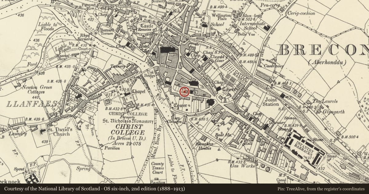
5 historical maps cover this location, the earliest the 1608 map "(13) Cambriae Typus." (David Rumsey Map Collection, Stanford Libraries).
Historical maps covering this location
- 1608 · (13) Cambriae Typus. (David Rumsey Map Collection, Stanford Libraries)
- 1636 · Cornubia : Devonia, Somersetus, Dorcestria, Wiltonia, Glocestria ... (David Rumsey Map Collection, Stanford Libraries)
- 1856 · 42. Brecon. (David Rumsey Map Collection, Stanford Libraries)
- 1898 · 213 Brecon (Hills) (David Rumsey Map Collection, Stanford Libraries)
- 1901 · Sheet 14. (David Rumsey Map Collection, Stanford Libraries)
Cadw's description
Location
Opposite Havard House, in wall forming N side of Glamorgan Street.
History
C18 to C19. Former garden entrance to Tredegar House in St Mary Street, now demolished. Formerly set at the end of a passageway between two outbuildings. See 1834 Plan of Brecknock
Exterior
Blocked flat arched gateway of stone with pilasters and entablature comprising former garden entrance to demolished Tredegar House in St Mary Street.
Reason for designation
Included for Group Value with other listed buildings in Glamorgan Street, and historic interest.
Nearby in the register
- Havard House, including Forecourt Wall, Railings and Gate; and Former Stable Blocks to East and WestEducationunder 1 mi
- The Old Post OfficeCommunicationsunder 1 mi
- 4 St Mary StreetDomesticunder 1 mi
- Pair of Telephone Call-boxes immediately to S of St Mary's Church TowerCommunicationsunder 1 mi
Other entries of the same register within about three miles of this one, by straight line.