Cof Cymru: National Historic Assets of Wales · Wales
Garden Arch at Old Henllan
Angle, Pembrokeshire, Wales
A Grade II listed building in Pwllcrochan, Angle, Pembrokeshire, designated on 29 September 1993.
The record
- Designation
- Listed building, Grade II
- Broad class
- Gardens, Parks and Urban Spaces
- Date of designation
- 29 September 1993
- Locality
- Pwllcrochan
- Community
- Angle
- Unitary authority
- Pembrokeshire
- Country
- Wales
- Coordinates
- 51.68267, -5.01515
- Cadw reference
- 6590
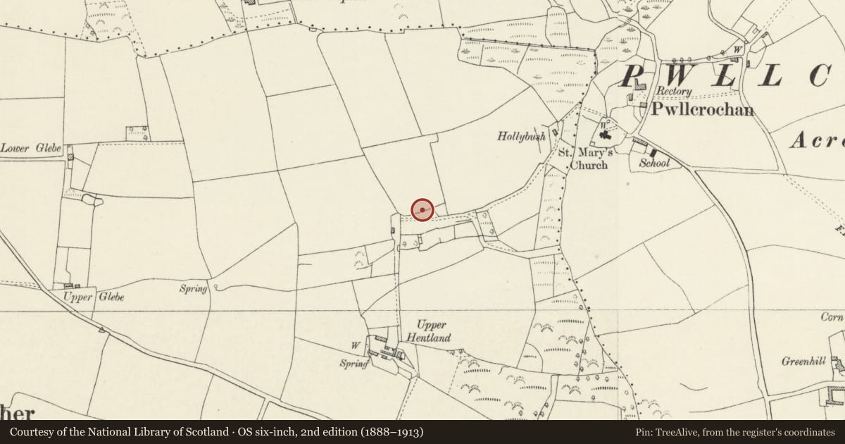
Slide toward Today to fade the historical sheet and see the modern map underneath.
David Rumsey Map Collection, Stanford LibrariesDavid Rumsey Map Collection, Stanford LibrariesDavid Rumsey Map Collection, Stanford LibrariesDavid Rumsey Map Collection, Stanford LibrariesDavid Rumsey Map Collection, Stanford Libraries
5 historical maps cover this location, the earliest the 1636 map "Cornubia : Devonia, Somersetus, Dorcestria, Wiltonia, Glocestria ..." (David Rumsey Map Collection, Stanford Libraries).
Historical maps covering this location
- 1636 · Cornubia : Devonia, Somersetus, Dorcestria, Wiltonia, Glocestria ... (David Rumsey Map Collection, Stanford Libraries)
- 1830 · V.3:11-15:XV. Britisches Reich. A. Kon: England. b. Frstenthum Wales: Shire: 37-40 (David Rumsey Map Collection, Stanford Libraries)
- 1865 · England and Wales. England No. 6. (David Rumsey Map Collection, Stanford Libraries)
- 1891 · Sheet 10. Ordnance Survey of England and Wales. . (David Rumsey Map Collection, Stanford Libraries)
- 1901 · Sheet 13. (David Rumsey Map Collection, Stanford Libraries)
Cadw's description
Location
Situated some 60m N of the remaining structure of Old Henllan, on N boundary of site.
History
In 1891 the gateway was said to have the White family coat of arms and date "171 " (broken), this may survive under ivy. The Whites owned the estate from c1545; in 1670 it passed to the infant Elizabeth, later Lady Bulkeley (d1736), but after her first marriage c1677 the house was let; the estate eventually was joined to the Stackpole estate.
Exterior
Early C18 garden arch in red brick with round-headed recessed arch, each face of the outer arch with moulded brick imposts to piers and remains of moulded brick plinth. Keyblock under crown of each outer arch, remains of raised string course above, possibly broken for centre plaque.
Reason for designation
A rare survival of early brickwork in this area.
Nearby in the register
- Stone Building (now as a Barn) at Old HenllanDomesticunder 1 mi
- Former Church of Saint MaryReligious, Ritual and Funeraryunder 1 mi
- Former National School BuildingEducationunder 1 mi
- Enclosure & Earthworks at Lewiston HallPromontory Fort- coastalunder 1 mi
Other entries of the same register within about three miles of this one, by straight line.