Cof Cymru: National Historic Assets of Wales · Wales
21 Northfield Road
Narberth, Pembrokeshire, Wales
A Grade II listed building in Narberth, Pembrokeshire, designated on 17 May 1988.
The record
- Designation
- Listed building, Grade II
- Broad class
- Domestic
- Date of designation
- 17 May 1988
- Community
- Narberth
- Unitary authority
- Pembrokeshire
- Country
- Wales
- Coordinates
- 51.80200, -4.74415
- Cadw reference
- 6505
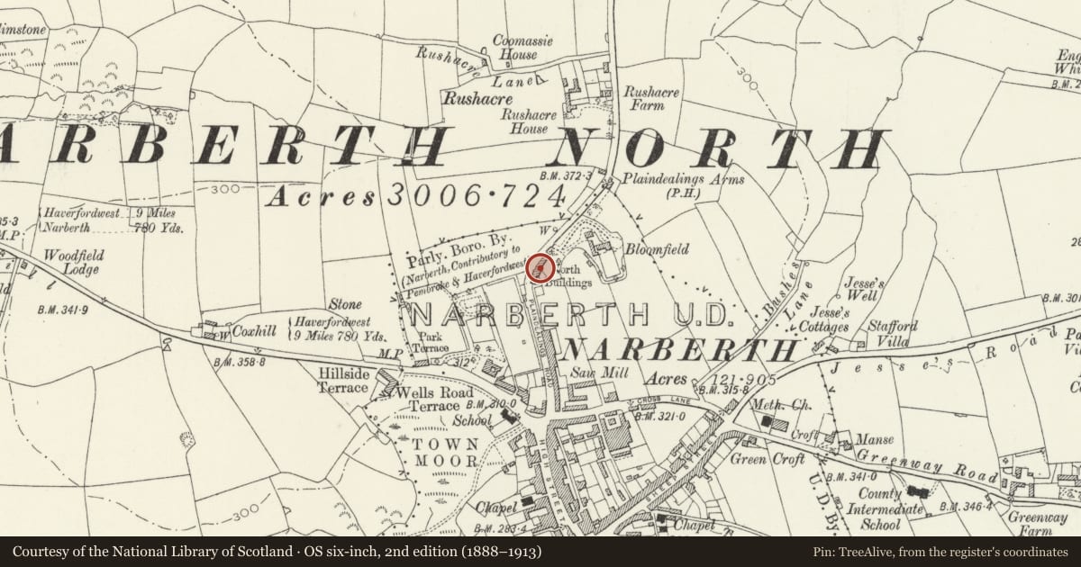
Slide toward Today to fade the historical sheet and see the modern map underneath.
David Rumsey Map Collection, Stanford LibrariesDavid Rumsey Map Collection, Stanford LibrariesDavid Rumsey Map Collection, Stanford LibrariesDavid Rumsey Map Collection, Stanford LibrariesDavid Rumsey Map Collection, Stanford Libraries
5 historical maps cover this location, the earliest the 1636 map "Cornubia : Devonia, Somersetus, Dorcestria, Wiltonia, Glocestria ..." (David Rumsey Map Collection, Stanford Libraries).
Historical maps covering this location
- 1636 · Cornubia : Devonia, Somersetus, Dorcestria, Wiltonia, Glocestria ... (David Rumsey Map Collection, Stanford Libraries)
- 1830 · V.3:11-15:XV. Britisches Reich. A. Kon: England. b. Frstenthum Wales: Shire: 37-40 (David Rumsey Map Collection, Stanford Libraries)
- 1891 · Sheet 10. Ordnance Survey of England and Wales. . (David Rumsey Map Collection, Stanford Libraries)
- 1898 · 228 Haverfordwest (Hills) (David Rumsey Map Collection, Stanford Libraries)
- 1901 · Sheet 13. (David Rumsey Map Collection, Stanford Libraries)
Cadw's description
Location
Behind a narrow forecourt on the street line where the road curves some 250 yds from the junction with Spring Gardens.
Exterior
Early C19, 2 storey, 3 window symmetric front. Incised coursing to colourwashed plaster on rubble. Gently pitched slate roof, plain eaves. Rendered brick stacks.
12 pane sash windows to 1st floor, plain reveals, stone sills. Similar flanking central doorway to ground floor.
Round arched doorway, plain fanlight, modern panelled door.
Nearby in the register
- Bloomfield TerraceDomesticunder 1 mi
- Bloomfield TerraceDomesticunder 1 mi
- BloomfieldDomesticunder 1 mi
- Hill House (Chestnut Tree Lodge)Commercialunder 1 mi
Other entries of the same register within about three miles of this one, by straight line.