Cof Cymru: National Historic Assets of Wales · Wales
Gateway to Brother Thomas' Garden and wall to left
Tenby, Pembrokeshire, Wales
A Grade II listed building in Tenby, Pembrokeshire, designated on 26 April 1977.
The record
- Designation
- Listed building, Grade II
- Broad class
- Domestic
- Date of designation
- 26 April 1977
- Town
- Tenby
- Community
- Tenby
- Unitary authority
- Pembrokeshire
- Country
- Wales
- Coordinates
- 51.67221, -4.69927
- Cadw reference
- 6130
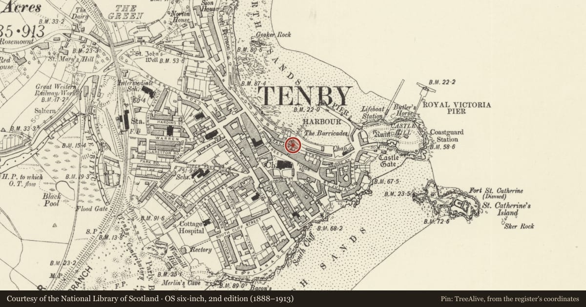
Slide toward Today to fade the historical sheet and see the modern map underneath.
David Rumsey Map Collection, Stanford LibrariesDavid Rumsey Map Collection, Stanford LibrariesDavid Rumsey Map Collection, Stanford LibrariesDavid Rumsey Map Collection, Stanford LibrariesDavid Rumsey Map Collection, Stanford Libraries
5 historical maps cover this location, the earliest the 1636 map "Cornubia : Devonia, Somersetus, Dorcestria, Wiltonia, Glocestria ..." (David Rumsey Map Collection, Stanford Libraries).
Historical maps covering this location
- 1636 · Cornubia : Devonia, Somersetus, Dorcestria, Wiltonia, Glocestria ... (David Rumsey Map Collection, Stanford Libraries)
- 1865 · England and Wales. England No. 6. (David Rumsey Map Collection, Stanford Libraries)
- 1891 · Sheet 10. Ordnance Survey of England and Wales. . (David Rumsey Map Collection, Stanford Libraries)
- 1898 · 245 Pembroke (Hills) (David Rumsey Map Collection, Stanford Libraries)
- 1901 · Sheet 13. (David Rumsey Map Collection, Stanford Libraries)
Cadw's description
Location
Set in a wall on the NE side of Crackwell Street some 35m E of the junction with Crackwell Lane.
History
Gateway to former Fish Market of 1847, by John Smith of Tenby. The market building itself, now gone, was further down the slope. Now entrance to Brother Thomas' garden in memory of the former steward of Caldey Island.
Exterior
Gateway and wall along pavement to left. Tooled grey limestone Tudor-arched gateway with four-centred head and keystone, on piers with impost blocks. Bull-nosed cornice and stepped embattled parapet. Tablet set into centre of parapet inscribed: 'Erected MDCCCXLVII W Walkington Mayor John Smith builder'. C20 double doors and cemented fanlight. To left, a length of coursed stone wall with stone coping, some 20m length up to corner of No 10 Bellevue.
Reason for designation
Included as attractive neo-Tudor gateway, with wall of group value with Bellevue Terrace.
Nearby in the register
- Bellevue CourtDomesticunder 1 mi
- Richmond HouseDomesticunder 1 mi
- No 10 Bellevue (Etnam House) and area railingsDomesticunder 1 mi
- The LanternCommercialunder 1 mi
Other entries of the same register within about three miles of this one, by straight line.