Cof Cymru: National Historic Assets of Wales · Wales
2 Castle Square
Tenby, Pembrokeshire, Wales
A Grade II listed building in Tenby, Pembrokeshire, designated on 19 March 1951.
The record
- Designation
- Listed building, Grade II
- Broad class
- Domestic
- Date of designation
- 19 March 1951
- Town
- Tenby
- Community
- Tenby
- Unitary authority
- Pembrokeshire
- Country
- Wales
- Coordinates
- 51.67234, -4.69623
- Cadw reference
- 6116
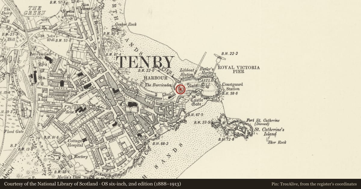
Slide toward Today to fade the historical sheet and see the modern map underneath.
David Rumsey Map Collection, Stanford LibrariesDavid Rumsey Map Collection, Stanford LibrariesDavid Rumsey Map Collection, Stanford LibrariesDavid Rumsey Map Collection, Stanford LibrariesDavid Rumsey Map Collection, Stanford Libraries
5 historical maps cover this location, the earliest the 1636 map "Cornubia : Devonia, Somersetus, Dorcestria, Wiltonia, Glocestria ..." (David Rumsey Map Collection, Stanford Libraries).
Historical maps covering this location
- 1636 · Cornubia : Devonia, Somersetus, Dorcestria, Wiltonia, Glocestria ... (David Rumsey Map Collection, Stanford Libraries)
- 1865 · England and Wales. England No. 6. (David Rumsey Map Collection, Stanford Libraries)
- 1891 · Sheet 10. Ordnance Survey of England and Wales. . (David Rumsey Map Collection, Stanford Libraries)
- 1898 · 245 Pembroke (Hills) (David Rumsey Map Collection, Stanford Libraries)
- 1901 · Sheet 13. (David Rumsey Map Collection, Stanford Libraries)
Cadw's description
Location
On the E side of Castle Square facing W to overlook the harbour.
History
Terraced house in row of three, late C18 or early C19, shown in 1817 view of Tenby, when only this house and No 1 were built. The house had different glazing in 1817, plain upper window and possibly a two-storey canted bay below, but detail is not clear. The present castellated ground floor is mid C19.
Exterior
House late C18 to early C19, white-painted stucco with close-eaved slate roof. Three storeys, one-window range with ground floor big mid C19 stuccoed canted bay to ground floor with door to right and central 2-storey timber canted bay above with cornices and 4-16-4-pane sashes. Ground floor bay is set to left and has 3 round-arched windows with small panes and radiating-bar heads (restored 2000), cornice on plain corbels (like those of St Catherine's to rear) and low parapet with crenellations, continued to right over doorway in chamfered surround. Mid C19 door with 2 long panels and 3-pane overlight.
Interior
Not inspected.
Reason for designation
Included as a prominent and attractive late Georgian town house.
Nearby in the register
- Harbour HouseDomesticunder 1 mi
- St Catherine's House, including area railingsDomesticunder 1 mi
- Retaining wall and parapet to raised roadway before Nos 1, 2 & 3Domesticunder 1 mi
- Castle Court and retaining wall to leftDomesticunder 1 mi
Other entries of the same register within about three miles of this one, by straight line.