Cof Cymru: National Historic Assets of Wales · Wales
Carreg Wen
Llanfairfechan, Conwy, Wales
A Grade II listed building in Llanfairfechan, Conwy, designated on 14 April 1992.
The record
- Designation
- Listed building, Grade II
- Broad class
- Domestic
- Date of designation
- 14 April 1992
- Locality
- Llanfairfechan
- Community
- Llanfairfechan
- Unitary authority
- Conwy
- Country
- Wales
- Coordinates
- 53.25140, -3.97500
- Cadw reference
- 5839
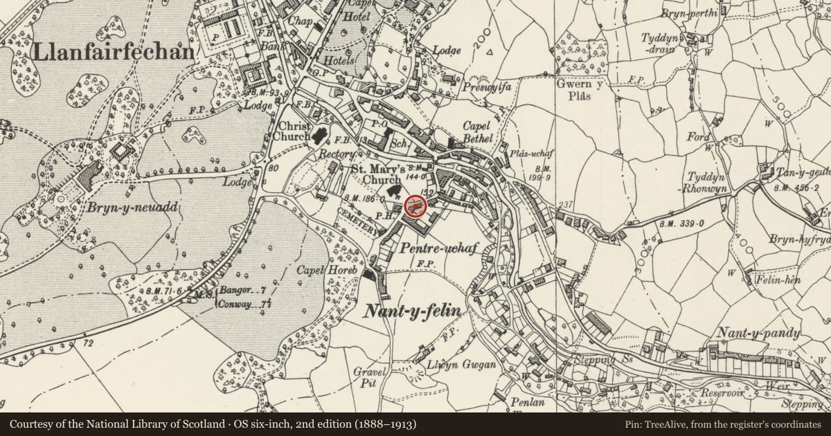
Slide toward Today to fade the historical sheet and see the modern map underneath.
David Rumsey Map Collection, Stanford LibrariesDavid Rumsey Map Collection, Stanford LibrariesDavid Rumsey Map Collection, Stanford LibrariesDavid Rumsey Map Collection, Stanford LibrariesDavid Rumsey Map Collection, Stanford Libraries
5 historical maps cover this location, the earliest the 1883 map "Watershed map England, Wales 3." (David Rumsey Map Collection, Stanford Libraries).
Historical maps covering this location
- 1883 · Watershed map England, Wales 3. (David Rumsey Map Collection, Stanford Libraries)
- 1896 · Sheet 7. Ordnance Survey of England and Wales. (David Rumsey Map Collection, Stanford Libraries)
- 1899 · 106 Bangor (Outline) (David Rumsey Map Collection, Stanford Libraries)
- 1899 · 106 Bangor (Hills) (David Rumsey Map Collection, Stanford Libraries)
- 1901 · Sheet 9 and 10. (David Rumsey Map Collection, Stanford Libraries)
Cadw's description
Location
Opposite gates of Eglwys y Santes Fair.
History
House circa 1860’s.
Exterior
Two storeys over basement. Slate roof, end stone chimneys. First floor with 3 windows, 16 pane hornless sashes. On ground floor, central doorway (six-panelled door) flanked by two 16 pane hornless sash windows. Ground drops away steeply to L where below railed walkway there is basement entrance (with four-panelled door) and to L, large (probably former shop) window.
Nearby in the register
- Fron GochDomesticunder 1 mi
- Eglwys y Santes Fair (Parish Church of St Mary)Religious, Ritual and Funeraryunder 1 mi
- The Original Fish & Chip ShopCommercialunder 1 mi
- Llanfair Arms PHCommercialunder 1 mi
Other entries of the same register within about three miles of this one, by straight line.