Cof Cymru: National Historic Assets of Wales · Wales
The King's Arms PH
Llandudno, Conwy, Wales
A Grade II listed building in Llandudno, Conwy, designated on 16 March 1976.
The record
- Designation
- Listed building, Grade II
- Broad class
- Commercial
- Date of designation
- 16 March 1976
- Locality
- Llandudno
- Community
- Llandudno
- Unitary authority
- Conwy
- Country
- Wales
- Coordinates
- 53.32267, -3.82527
- Cadw reference
- 5820
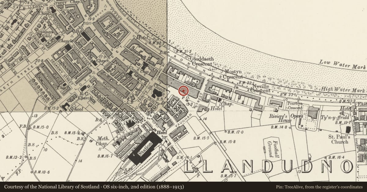
Slide toward Today to fade the historical sheet and see the modern map underneath.
David Rumsey Map Collection, Stanford LibrariesDavid Rumsey Map Collection, Stanford LibrariesDavid Rumsey Map Collection, Stanford LibrariesNational Library of ScotlandNational Library of Scotland
5 historical maps cover this location, the earliest the 1883 map "Watershed map England, Wales 3." (David Rumsey Map Collection, Stanford Libraries).
Historical maps covering this location
- 1883 · Watershed map England, Wales 3. (David Rumsey Map Collection, Stanford Libraries)
- 1885 · OS One-Inch (Hills) 1885-1903 (National Library of Scotland)
- 1899 · 94 Beaumaris (Hills) (David Rumsey Map Collection, Stanford Libraries)
- 1901 · Sheet 9 and 10. (David Rumsey Map Collection, Stanford Libraries)
- 1930 · OS Popular Edition 1919-1947 (National Library of Scotland)
Cadw's description
Location
Opposite John Street.
History
Gables bear date 1898; probably a late C19 remodelling of mid C19 building, first floor masonry similar to No 19, to L.
Exterior
Front elevation of two storeys and attic, two bays, each bay surmounted by a gable with mock half-timbering and date (1898) set within the panelling. Two transomed 3-light windows to attic storey; first floor faced with dressed stone with two transomed 3-light canted oriel bay windows with curved transoms, and small moulded canopy over. On the ground floor there is an elaborate late C19/early C20 public house front; fascia board with inscription "The King's Arms"; window in the centre with transoms and coloured glass in upper lights and with engraved glass in lower panes of window; stall-riser faced with mosaic; stained glass above window runs to sides over recessed doorways with half-glazed door to L, panelled door to R.
Reason for designation
Mid C19 building with good late C19 public house front. Group value.
Nearby in the register
- Nos.19 & 19ACommercialunder 1 mi
- 13 Mostyn StreetDomesticunder 1 mi
- 21 Mostyn StreetDomesticunder 1 mi
- 23 Mostyn StreetDomesticunder 1 mi
Other entries of the same register within about three miles of this one, by straight line.