Cof Cymru: National Historic Assets of Wales · Wales
Wall of enclosed garden of Dinam and gateway
Rhosyr, Isle of Anglesey, Wales
A Grade II listed building in Dinam, Rhosyr, Isle of Anglesey, designated on 30 January 1968.
The record
- Designation
- Listed building, Grade II
- Broad class
- Domestic
- Date of designation
- 30 January 1968
- Locality
- Dinam
- Community
- Rhosyr
- Unitary authority
- Isle of Anglesey
- Country
- Wales
- Coordinates
- 53.19516, -4.31645
- Cadw reference
- 5510
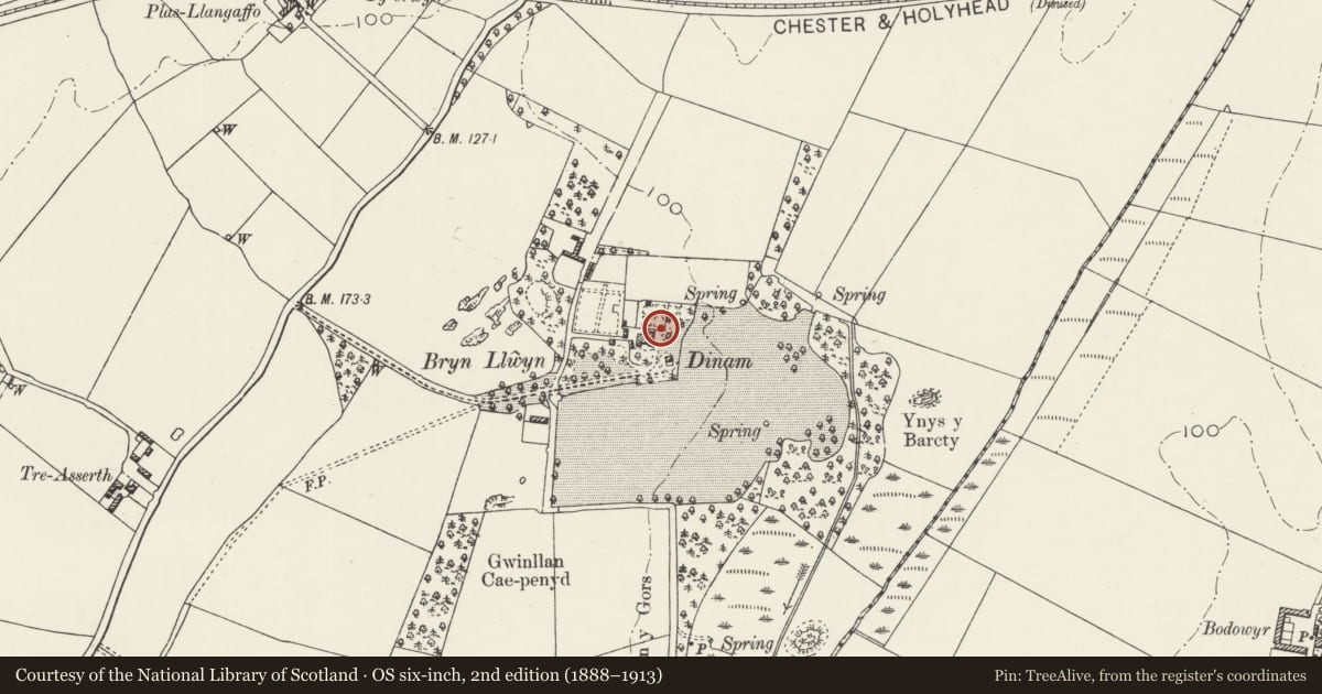
Slide toward Today to fade the historical sheet and see the modern map underneath.
David Rumsey Map Collection, Stanford LibrariesDavid Rumsey Map Collection, Stanford LibrariesDavid Rumsey Map Collection, Stanford LibrariesDavid Rumsey Map Collection, Stanford LibrariesDavid Rumsey Map Collection, Stanford Libraries
5 historical maps cover this location, the earliest the 1883 map "Watershed map England, Wales 3." (David Rumsey Map Collection, Stanford Libraries).
Historical maps covering this location
- 1883 · Watershed map England, Wales 3. (David Rumsey Map Collection, Stanford Libraries)
- 1896 · Sheet 7. Ordnance Survey of England and Wales. (David Rumsey Map Collection, Stanford Libraries)
- 1899 · 105 Carnarvon (Hills) (David Rumsey Map Collection, Stanford Libraries)
- 1901 · Sheet 9 and 10. (David Rumsey Map Collection, Stanford Libraries)
- 1919 · Sheet 41. Anglesey. (David Rumsey Map Collection, Stanford Libraries)
Cadw's description
Location
Dinam is located at the end of a private driveway off the SE side of the B4419, NE of Llangaffo and c800m NE of the Church of St Caffo. The enclosed garden lies directly N of the main house; the gateway is located in the S wall.
History
Probably mid C18, contemporary with the outbuildings to the rear of Dinam.
Exterior
High wall of rubble masonry surrounding a rectangular garden; the gateway is set in the S wall, with roughly dressed stone jambs and rectangular lintel with roughly segmentally shaped soffit. The gateway is now hung with a highly ornate wrought-iron gate; rectangular in shape with a pointed arched within and paired dog rails, the full-height vertical rails embellished with decorative floriate ironwork.
Reason for designation
Listed as a good example of a mid C18 garden wall and gateway; included for group value with the adjacent Dinam and outbuildings.
Nearby in the register
- DinamDomesticunder 1 mi
- Dovecote at DinamDomesticunder 1 mi
- The former stables of DinamAgriculture and Subsistenceunder 1 mi
- Cartshed and game larder at DinamDomesticunder 1 mi
Other entries of the same register within about three miles of this one, by straight line.