Cof Cymru: National Historic Assets of Wales · Wales
34
Flint, Flintshire, Wales
A Grade II listed building in Flint, Flintshire, designated on 24 February 1976.
The record
- Designation
- Listed building, Grade II
- Broad class
- Domestic
- Date of designation
- 24 February 1976
- Community
- Flint
- Unitary authority
- Flintshire
- Country
- Wales
- Coordinates
- 53.24915, -3.13511
- Cadw reference
- 524
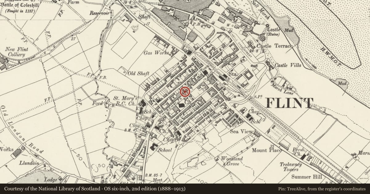
Slide toward Today to fade the historical sheet and see the modern map underneath.
David Rumsey Map Collection, Stanford LibrariesDavid Rumsey Map Collection, Stanford LibrariesDavid Rumsey Map Collection, Stanford LibrariesDavid Rumsey Map Collection, Stanford LibrariesLlyfrgell Genedlaethol Cymru – The National Library of Wales
5 historical maps cover this location, the earliest the 1795 map "To Sir Watkin Williams-Wynn Bart ... the map of the six counties of North Wales is most humbly inscribed by his obedient humble servant" (Llyfrgell Genedlaethol Cymru – The National Library of Wales).
Historical maps covering this location
- 1795 · To Sir Watkin Williams-Wynn Bart ... the map of the six counties of North Wales is most… (Llyfrgell Genedlaethol Cymru – The National Library of Wales)
- 1883 · Watershed map England, Wales 3. (David Rumsey Map Collection, Stanford Libraries)
- 1898 · 108 Flint (Hills) (David Rumsey Map Collection, Stanford Libraries)
- 1898 · 108 Flint (Outline) (David Rumsey Map Collection, Stanford Libraries)
- 1901 · Sheet 9 and 10. (David Rumsey Map Collection, Stanford Libraries)
Cadw's description
Location
On corner of lane through to Feathers Street.
History
Former sessions house; a C19 rebuilding and refronting of earlier ( C17 ) building.
Exterior
Two storeys, scribed stucco, quoins, slate roof. Gable end to Church Street has tall central arch with first floor window, and entrance doorway. Left side has, 5 first floor windows, set at eaves (but L window is gabled loading bay); between floors, raised lettered inscription " Public Supply Stores ". On ground floor 2 doors, and 3 windows.
Interior
Said to have lenght of old wall (C17), and two 3-light mullioned windows. High ground floor with shopfittings. Wooden staircase said to have come from bridge to Brunel's "Great Eastern", brocken up nearby on the Mersey.
Reason for designation
Probably oldest house in town centre with strong historic interest.
Nearby in the register
- St Mary ChurchReligious, Ritual and Funeraryunder 1 mi
- Town HallCivilunder 1 mi
- South African War MemorialCommemorativeunder 1 mi
- War Memorial (CENOTAPH)Commemorativeunder 1 mi
Other entries of the same register within about three miles of this one, by straight line.